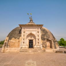
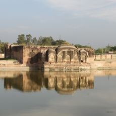
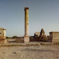
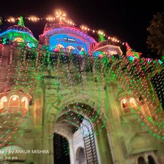
Jalaun district, Administrative division in Jhansi division, Uttar Pradesh, India.
Jalaun district is an administrative region in Jhansi division, situated across flat plains bounded by the Yamuna River to the north and the Betwa River to the south. The territory encompasses five administrative subdivisions and serves as a rural area focused on agricultural activity.
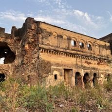
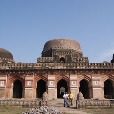
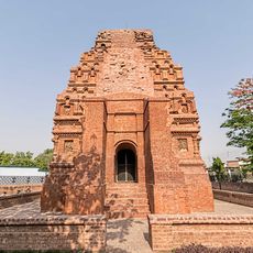
The territory fell under British control in 1806, and after the death of Nana Gobind Ras in 1840, it became fully integrated into British India. These transitions shaped the administrative framework that exists today.
The district population includes 89 percent Hindu practitioners and 10 percent Muslim residents, with Hindi as the primary language of communication.
The district is divided into five administrative subdivisions, with Orai serving as the main administrative center. This town functions as the focal point for accessing government services and local information.
The Non River flows through the district, forming small ravines that create natural drainage systems shaping agricultural practices. These geological features influence how water moves through the landscape and supports farming.
The community of curious travelers
AroundUs brings together thousands of curated places, local tips, and hidden gems, enriched daily by 60,000 contributors worldwide.