Satna district, Administrative district in Rewa division, India
Satna district is an administrative area in central Madhya Pradesh covering roughly 7,500 square kilometers. The territory sits between Uttar Pradesh to the north and has another district bordering it to the east.
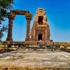
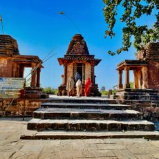
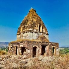
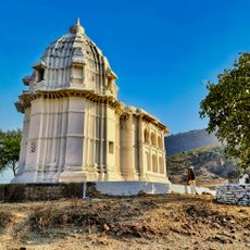
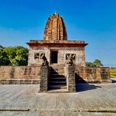
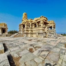
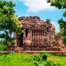
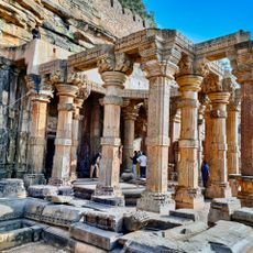
The region was part of Baghelkhand territory for many centuries, ruled by different dynasties starting from the 3rd century. The Haihaya, Kalchuri, and Chedi clans left their mark on local governance and culture.
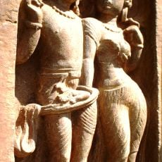
The name traces back to the Haihaya dynasty that once ruled the region. Visitors can experience local festivals and traditional art forms that remain vibrant across many communities.
The area is divided into eleven administrative units, each with its own centers. The city of Satna serves as the main office for government services and is the primary point of reference for visitors.
The territory holds significant limestone deposits and several cement factories that account for a major share of India's industrial mineral production. This industry has shaped the appearance and economic development of the area.
The community of curious travelers
AroundUs brings together thousands of curated places, local tips, and hidden gems, enriched daily by 60,000 contributors worldwide.