Enable Location

We need your location to show you interesting places around you

Discover nearby places

Find interesting locations and hidden gems around you

Precise directions

Get accurate directions and distances to places

Your location is never shared with other users. It's only used when you tap the location button.

Bijnor district

Log in to your account

Start exploring — it's free

Trusted by 67,581 travelers worldwide

Continue with Google
Continue with Apple
or

We will send you a code to connect

By continuing, you accept our Terms and Conditions and our Privacy Policy

Check your inbox

We've sent a pincode in your inbox. Please enter the code below.

Discussion Reviews 1 Photos
46k Popularity

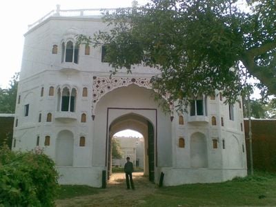
Bijnor district, Administrative district in Uttar Pradesh, India

Bijnor district is an administrative territory in the northwest section of Moradabad Division in Uttar Pradesh, with the Ganges River forming its western edge. The region covers a substantial area and is dominated by agricultural activity and industrial facilities.

The district was created in 1817 as Nagina district following a division from Moradabad, with its administrative center relocated to Bijnor city in 1824. The official name change to Bijnor district occurred in 1837, establishing the current territorial form.

The district population follows multiple religions including Hinduism and Islam, with Hindi and Urdu serving as primary languages for communication and administration.

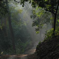
The region is dominated by extensive sugarcane cultivation, giving visitors insight into the local agricultural economy. Multiple sugar mills operate throughout the district and rank among India's largest production facilities.

Bijnor Urad Chawal is a traditional rice dish made with black lentils that local cooks prepare for celebrations and weddings throughout the region. This regional specialty remains tied to ceremonial occasions and family traditions.

The community of curious travelers

AroundUs brings together thousands of curated places, local tips, and hidden gems, enriched daily by 60,000 contributors worldwide.

Start exploring
Capital city
Bijnor
Shares border with
Muzaffarnagar district, Moradabad district
GPS coordinates
29.41667,78.51667
Latest update
December 14, 2025 20:02
Reviews
Share your experience

No review yet

Discussions
Start a discussion...

No discussion yet

« Bijnor district - Administrative district in Uttar Pradesh, India » is provided by Around Us (aroundus.com). Images and texts are derived from Wikimedia project under a Creative Commons license. You are allowed to copy, distribute, and modify copies of this page, under the conditions set by the license, as long as this note is clearly visible.

Discover hidden gems everywhere you go!

From secret cafés to breathtaking viewpoints, skip the crowded tourist spots and find places that match your style. Our app makes it easy with voice search, smart filtering, route optimization, and insider tips from travelers worldwide. Download now for the complete mobile experience.

Around Us App Screenshot

A unique approach to discovering new places

Le Figaro

All the places worth exploring

France Info

A tailor-made excursion in just a few clicks

20 Minutes

Around Us
Travel Guide & Maps
Download

Send to your phone

QR Code
1

Open the camera app on your mobile.

2

Point at the QR code with your camera. A notification will appear.

3

Tap the notification to open the link.