Enable Location

We need your location to show you interesting places around you

Discover nearby places

Find interesting locations and hidden gems around you

Precise directions

Get accurate directions and distances to places

Your location is never shared with other users. It's only used when you tap the location button.

Alipurduar district

Log in to your account

Start exploring — it's free

Trusted by 62,290 travelers worldwide

Continue with Google
Continue with Apple
or

We will send you a code to connect

By continuing, you accept our Terms and Conditions and our Privacy Policy

Check your inbox

We've sent a pincode in your inbox. Please enter the code below.

Alipurduar district

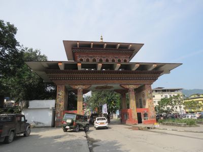
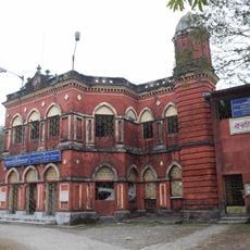
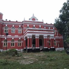
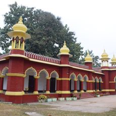
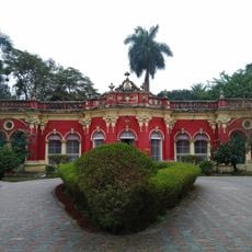
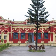
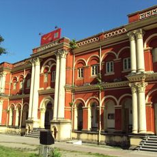
Alipurduar district, Administrative district in West Bengal, India

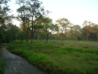
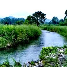
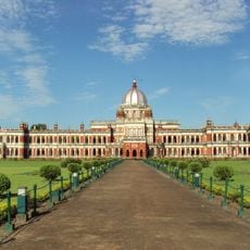
Alipurduar is an administrative district in West Bengal covering approximately 3,400 square kilometers, with Jalpaiguri to its west, Assam to the east, and Bhutan to the north as neighbors. The district is organized into two municipalities and six rural development blocks that together form numerous smaller settlements.

The district was established on June 25, 2014, as the 20th administrative region of West Bengal after separating from Jalpaiguri. This separation created an independent administration that could address regional development more directly.

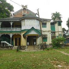
The region is home to various ethnic communities including Rajbanshi, Dukpa, Bhutia, Tamang, Gurung, and Lepcha, each maintaining their own traditions and languages. This diversity shapes daily life and appears in local celebrations, crafts, and how people interact across the neighborhoods.

The district is accessible from neighboring regions and has basic infrastructure spread across its main towns and rural areas. When planning a visit, keep in mind that rural areas have fewer services than the urban centers.

Kalonunia rice from this region earned geographical indication status in 2024, recognizing its distinctive growing conditions and flavor characteristics. This recognition sets it apart as a protected agricultural product with a registered name.

The community of curious travelers

AroundUs brings together thousands of curated places, local tips, and hidden gems, enriched daily by 60,000 contributors worldwide.

Start exploring
Capital city
Alipurduar
Shares border with
Jalpaiguri district, Cooch Behar district, Sarpang District, Kokrajhar district
GPS coordinates
26.48900,89.52700
Latest update
December 14, 2025 19:03
« Alipurduar district - Administrative district in West Bengal, India » is provided by Around Us (aroundus.com). Images and texts are derived from Wikimedia project under a Creative Commons license. You are allowed to copy, distribute, and modify copies of this page, under the conditions set by the license, as long as this note is clearly visible.

Discover hidden gems everywhere you go!

From secret cafés to breathtaking viewpoints, skip the crowded tourist spots and find places that match your style. Our app makes it easy with voice search, smart filtering, route optimization, and insider tips from travelers worldwide. Download now for the complete mobile experience.

Around Us App Screenshot

A unique approach to discovering new places

Le Figaro

All the places worth exploring

France Info

A tailor-made excursion in just a few clicks

20 Minutes

Around Us
Travel Guide & Maps
Download

Send to your phone

QR Code
1

Open the camera app on your mobile.

2

Point at the QR code with your camera. A notification will appear.

3

Tap the notification to open the link.