Chinsurah-Mogra community development block, Administrative community block in Chinsurah Sadar subdivision, India.
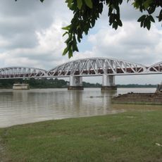
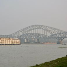
Chinsurah-Mogra is a community development block in the Hooghly district of West Bengal, covering a group of villages and small urban centers on the Hooghly-Damodar Plain. The Hooghly River runs along its eastern edge, and the land is largely agricultural with some built-up market areas.
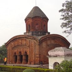
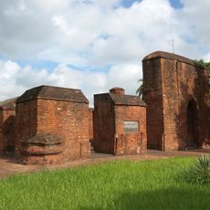
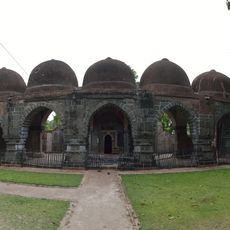
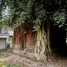
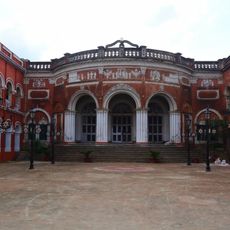
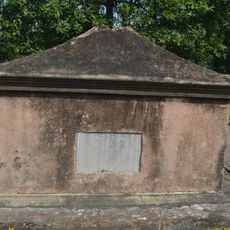
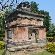
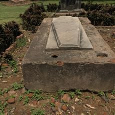
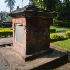
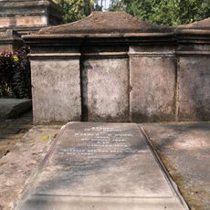
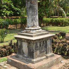
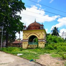
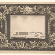
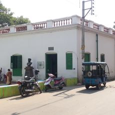
The area around Chinsurah served as a trading post for the Portuguese, Dutch, and later the British from the 16th century onward, each leaving their mark along the Hooghly River. The town of Chinsurah still has buildings and cemeteries from those periods that are visible today.
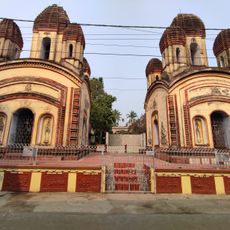
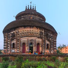
The local people celebrate major Bengali festivals throughout the year, with Durga Puja and Jagadhatri Puja drawing thousands of participants to shared gatherings. These events shape the rhythm of community life and strengthen connections among residents.
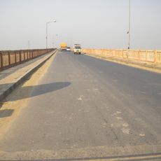
The block is reachable by road from Hooghly and Kolkata, and a rail line provides another way to reach the urban parts. Visitors wanting to explore the rural areas should prefer the dry season, as some paths become difficult after the monsoon.
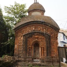
Chinsurah has one of the oldest Armenian churches in India, dating to the 18th century, which recalls a once-active Armenian merchant community in the town. Close by, a Dutch cemetery is considered one of the best-preserved colonial burial grounds in Bengal.
The community of curious travelers
AroundUs brings together thousands of curated places, local tips, and hidden gems, enriched daily by 60,000 contributors worldwide.