Enable Location

We need your location to show you interesting places around you

Discover nearby places

Find interesting locations and hidden gems around you

Precise directions

Get accurate directions and distances to places

Your location is never shared with other users. It's only used when you tap the location button.

Log in to your account

Start exploring — it's free

Trusted by 62,554 travelers worldwide

Continue with Google
Continue with Apple
or

We will send you a code to connect

By continuing, you accept our Terms and Conditions and our Privacy Policy

Check your inbox

We've sent a pincode in your inbox. Please enter the code below.

Gangajalghati community development block

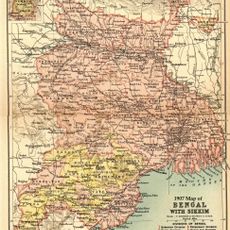
Gangajalghati community development block, Community development block in Bankura Sadar subdivision, India.

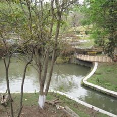
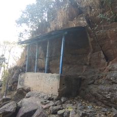
Gangajalghati is an administrative block in Bankura Sadar subdivision containing around 165 villages spread across undulating terrain. The area sits within a highland region and displays the landscape characteristic of this part of West Bengal.

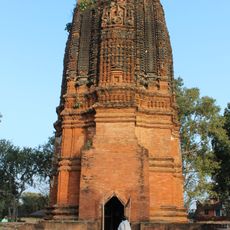
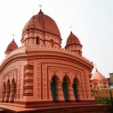
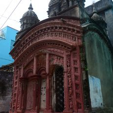
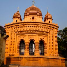
The block came under the rule of Hindu Rajas of Bishnupur from around the 7th century until 1760. British colonial administration then took control and shaped its administrative structure.

Bengali is the language spoken by most people here, though Santali is also used by some residents.

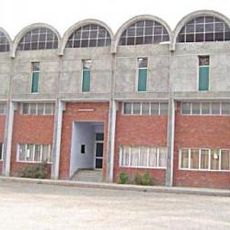
The area has primary schools and health centers spread across villages, and most inhabited settlements have access to electricity and drinking water. Getting around between scattered villages on hilly roads requires patience and flexibility.

The block is centered on agriculture, with many people working as rice farmers or farm laborers. This work shapes the daily rhythm and connects villages through shared seasonal activities.

The community of curious travelers

AroundUs brings together thousands of curated places, local tips, and hidden gems, enriched daily by 60,000 contributors worldwide.

Start exploring
Elevation above the sea
110 m
Shares border with
Saltora community development block, Mejia community development block, Barjora community development block, Bankura II community development block, Chhatna community development block
GPS coordinates
23.42000,87.12000
Latest update
December 12, 2025 07:50
« Gangajalghati community development block - Community development block in Bankura Sadar subdivision, India » is provided by Around Us (aroundus.com). Images and texts are derived from Wikimedia project under a Creative Commons license. You are allowed to copy, distribute, and modify copies of this page, under the conditions set by the license, as long as this note is clearly visible.

Discover hidden gems everywhere you go!

From secret cafés to breathtaking viewpoints, skip the crowded tourist spots and find places that match your style. Our app makes it easy with voice search, smart filtering, route optimization, and insider tips from travelers worldwide. Download now for the complete mobile experience.

Around Us App Screenshot

A unique approach to discovering new places

Le Figaro

All the places worth exploring

France Info

A tailor-made excursion in just a few clicks

20 Minutes

Around Us
Travel Guide & Maps
Download

Send to your phone

QR Code
1

Open the camera app on your mobile.

2

Point at the QR code with your camera. A notification will appear.

3

Tap the notification to open the link.