Log in to your account

AroundUs is a community-driven map of interesting places, built by curious explorers like you. It grows with every review, story, and photo you share.
Connect to save your favorite spots, contribute locations, and create personalized routes.
Continue with Google
Continue with Apple
Continue with X
Continue with Facebook
Continue with email
By continuing, you accept our Terms and Conditions and our Privacy Policy
Create an account

Itahar community development block

Add to collection
Map
Suggest a change
Share

Itahar community development block, Administrative block in Raiganj subdivision, India.

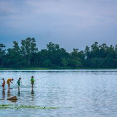
Itahar is an administrative block in Raiganj subdivision, West Bengal, composed of many villages spread across flat terrain. Three rivers - Nagar, Kulik, and Gamari - flow through the region, with the landscape gradually sloping from north to south.

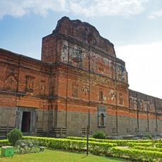
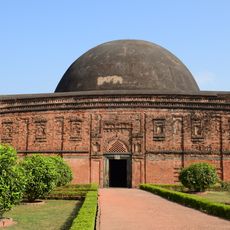
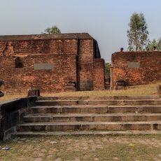
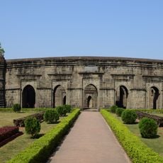
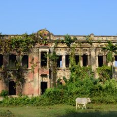
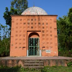
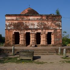
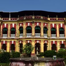
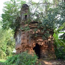
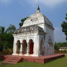
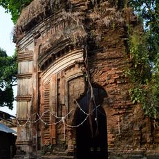
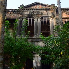
The region was part of the ancient Pundravardhana kingdom before falling under British control. In 1786, the British established Dinajpur district and incorporated portions of the Dinajpur Raj estate into its administration.

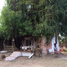
Traditional pottery and metalwork remain practiced in local households, forming part of the everyday economic life of rural communities. These crafts connect residents to their heritage and support local livelihoods.

The region is predominantly agricultural, with farming activities centered on rice, jute, and vegetables cultivated across the year. Visiting during harvest seasons offers the best chance to see farming life in action and experience the rural rhythm.

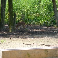
The three rivers running through this block have shaped settlement patterns and daily life for centuries, serving as natural dividers between farming zones. Visitors often overlook how these waterways quietly influence where communities settle and how they organize their lands.

Location: Raiganj subdivision

Shares border with: Raiganj community development block, Kaliaganj community development block, Kushmandi community development block, Gazole community development block, Chanchal I community development block, Chanchal II community development block, Harirampur community development block

GPS coordinates: 25.45000,88.16000

Latest update: December 11, 2025 11:09

Photos
Reviews

Visited this place? Tap the stars to rate it and share your experience / photos with the community! Try now! You can cancel it anytime.

« Itahar community development block - Administrative block in Raiganj subdivision, India » is provided by Around Us (aroundus.com). Images and texts are derived from Wikimedia project under a Creative Commons license. You are allowed to copy, distribute, and modify copies of this page, under the conditions set by the license, as long as this note is clearly visible.

Discover hidden gems everywhere you go!

From secret cafés to breathtaking viewpoints, skip the crowded tourist spots and find places that match your style. Our app makes it easy with voice search, smart filtering, route optimization, and insider tips from travelers worldwide. Download now for the complete mobile experience.

Around Us App Screenshot

A unique approach to discovering new places

Le Figaro

All the places worth exploring

France Info

A tailor-made excursion in just a few clicks

20 Minutes