Enable Location

We need your location to show you interesting places around you

Discover nearby places

Find interesting locations and hidden gems around you

Precise directions

Get accurate directions and distances to places

Your location is never shared with other users. It's only used when you tap the location button.

Log in to your account

Start exploring — it's free

Trusted by 67,488 travelers worldwide

Continue with Google
Continue with Apple
or

We will send you a code to connect

By continuing, you accept our Terms and Conditions and our Privacy Policy

Check your inbox

We've sent a pincode in your inbox. Please enter the code below.

Hura community development block
Discussion Reviews Photo
3.5k Popularity

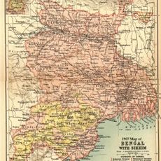
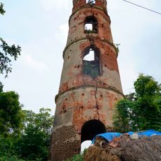
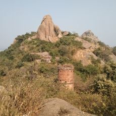
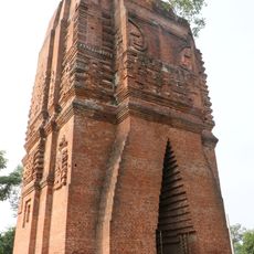
Hura community development block, Community development block in Purulia Sadar subdivision, India

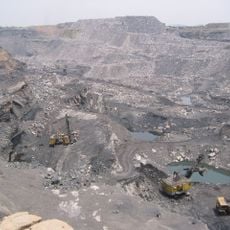
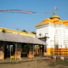
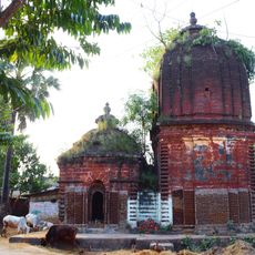
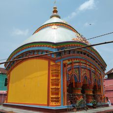
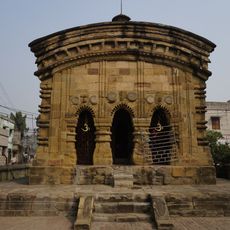
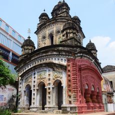
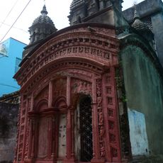
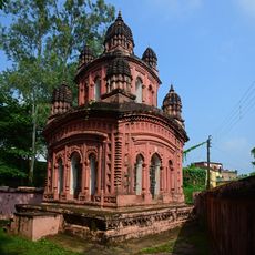
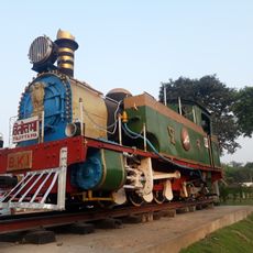
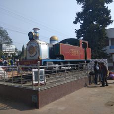
Hura is a rural administrative block in Purulia Sadar that spans a large area and encompasses multiple villages and settlements. The region consists mainly of agricultural land and smaller communities with limited urban infrastructure.

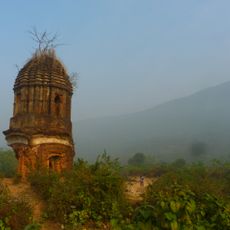
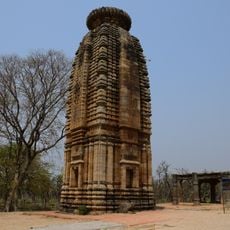
The block took its current form during India's administrative reorganization in the 1950s, which defined the territory of West Bengal. The territorial structure resulted from boundary settlements that unified various regions under a new state administration.

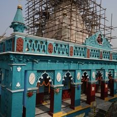
The block is home to a diverse population where Bengali dominates as the spoken language, though Santali is widely used among certain communities. This mix of languages shapes the local traditions and daily interactions across the villages.

The best time to visit is the cooler season between October and March when weather conditions are more favorable for exploration. It is wise to arrange local contacts in advance since public tourism facilities are limited.

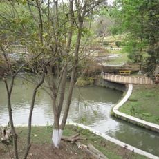
A major transportation link connects multiple bus routes that link villages with each other and to larger towns. A natural river marks the boundary between this block and neighboring administrative areas.

The community of curious travelers

AroundUs brings together thousands of curated places, local tips, and hidden gems, enriched daily by 60,000 contributors worldwide.

Start exploring
Elevation above the sea
167 m
Shares border with
Puncha community development block, Purulia I community development block, Purulia II community development block, Para community development block, Kashipur community development block, Indpur community development block
GPS coordinates
23.30000,86.65000
Latest update
December 12, 2025 07:56
Reviews
Share your experience

No review yet

Discussions
Start a discussion...

No discussion yet

« Hura community development block - Community development block in Purulia Sadar subdivision, India » is provided by Around Us (aroundus.com). Images and texts are derived from Wikimedia project under a Creative Commons license. You are allowed to copy, distribute, and modify copies of this page, under the conditions set by the license, as long as this note is clearly visible.

Discover hidden gems everywhere you go!

From secret cafés to breathtaking viewpoints, skip the crowded tourist spots and find places that match your style. Our app makes it easy with voice search, smart filtering, route optimization, and insider tips from travelers worldwide. Download now for the complete mobile experience.

Around Us App Screenshot

A unique approach to discovering new places

Le Figaro

All the places worth exploring

France Info

A tailor-made excursion in just a few clicks

20 Minutes

Around Us
Travel Guide & Maps
Download

Send to your phone

QR Code
1

Open the camera app on your mobile.

2

Point at the QR code with your camera. A notification will appear.

3

Tap the notification to open the link.