Log in to your account

AroundUs is a community-driven map of interesting places, built by curious explorers like you. It grows with every review, story, and photo you share.
Connect to save your favorite spots, contribute locations, and create personalized routes.
Continue with Google
Continue with Apple
Continue with X
Continue with Facebook
Continue with email
By continuing, you accept our Terms and Conditions and our Privacy Policy
Create an account

Sahid Matangini community development block

Add to collection
Map
Suggest a change
Share

Sahid Matangini community development block, Community development block in Tamluk subdivision, India

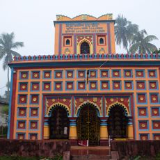
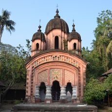
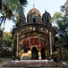
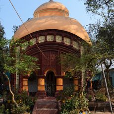
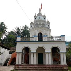
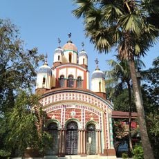
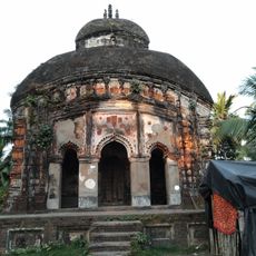
Sahid Matangini is a community development block in Purba Medinipur district, West Bengal, covering a rural area divided into multiple villages and hamlets. The block serves as an administrative unit that coordinates local services and development activities across its territory.

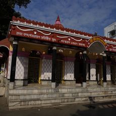
The block was named after Matangini Hazra, a freedom fighter who lost her life during India's independence struggle in the early 1940s. This choice of name reflects the historical importance of the region during the national movement.

The block takes its name from a freedom fighter whose memory remains important to local communities. The Bengali language and traditions connect residents to the wider culture of the region.

The area is a rural region with villages spread across a considerable distance, requiring local transportation to navigate between communities. Basic services like health centers are available, though medical facilities are limited and more specialized care may be far away.

The region specializes in flower cultivation, contributing significantly to West Bengal's reputation as a major producer in the country. Local fields dedicated to growing flowers shape the landscape and provide livelihoods for many residents.

Location: Tamluk subdivision

Shares border with: Kolaghat community development block, Tamluk community development block, Bagnan II community development block, Shyampur II community development block

GPS coordinates: 22.40858,87.91282

Latest update: December 11, 2025 18:10

Photos
Reviews

Visited this place? Tap the stars to rate it and share your experience / photos with the community! Try now! You can cancel it anytime.

« Sahid Matangini community development block - Community development block in Tamluk subdivision, India » is provided by Around Us (aroundus.com). Images and texts are derived from Wikimedia project under a Creative Commons license. You are allowed to copy, distribute, and modify copies of this page, under the conditions set by the license, as long as this note is clearly visible.

Discover hidden gems everywhere you go!

From secret cafés to breathtaking viewpoints, skip the crowded tourist spots and find places that match your style. Our app makes it easy with voice search, smart filtering, route optimization, and insider tips from travelers worldwide. Download now for the complete mobile experience.

Around Us App Screenshot

A unique approach to discovering new places

Le Figaro

All the places worth exploring

France Info

A tailor-made excursion in just a few clicks

20 Minutes