Enable Location

We need your location to show you interesting places around you

Discover nearby places

Find interesting locations and hidden gems around you

Precise directions

Get accurate directions and distances to places

Your location is never shared with other users. It's only used when you tap the location button.

Log in to your account

Start exploring — it's free

Trusted by 62,561 travelers worldwide

Continue with Google
Continue with Apple
or

We will send you a code to connect

By continuing, you accept our Terms and Conditions and our Privacy Policy

Check your inbox

We've sent a pincode in your inbox. Please enter the code below.

Tamluk community development block

Tamluk community development block, Community development block in Tamluk subdivision, India

Tamluk is a community development block in Purba Medinipur district that includes both urban and rural areas. The region has primary and secondary health facilities along with basic services to support the local population.

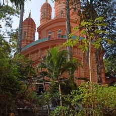
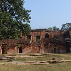
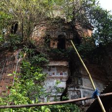
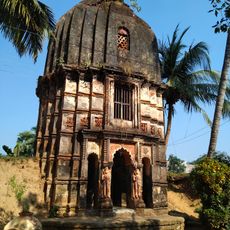
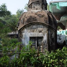
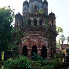
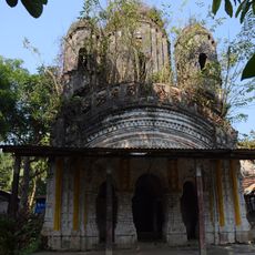
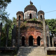
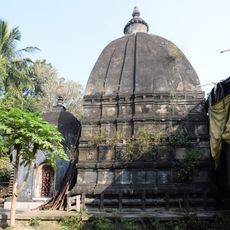
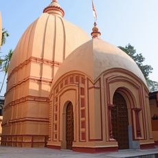
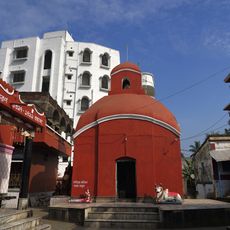
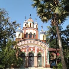
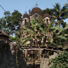
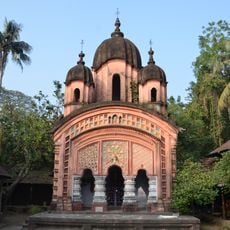
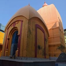
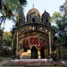
The region was an important trading center in ancient times and is identified with Tamralipta, a port that ancient writers described. Over the centuries, it remained a hub of commerce and human activity.

The area is home to a diverse community that speaks Bengali and English in daily life. It maintains strong ties to agriculture and local crafts that shape how people spend their time.

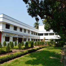
Visitors can access several health facilities including a primary center and smaller clinics spread across the area. The block is best explored with your own transport to reach different villages and settlements.

Several rivers flow through the area and provide water for farms, shaping agricultural life throughout the region. These waterways are a natural feature that influences the landscape and daily activities of people.

The community of curious travelers

AroundUs brings together thousands of curated places, local tips, and hidden gems, enriched daily by 60,000 contributors worldwide.

Start exploring
Elevation above the sea
6 m
Shares border with
Sahid Matangini community development block, Kolaghat community development block, Panskura community development block, Moyna community development block, Nandakumar community development block, Shyampur I community development block
GPS coordinates
22.31510,87.84740
Latest update
December 11, 2025 18:06
« Tamluk community development block - Community development block in Tamluk subdivision, India » is provided by Around Us (aroundus.com). Images and texts are derived from Wikimedia project under a Creative Commons license. You are allowed to copy, distribute, and modify copies of this page, under the conditions set by the license, as long as this note is clearly visible.

Discover hidden gems everywhere you go!

From secret cafés to breathtaking viewpoints, skip the crowded tourist spots and find places that match your style. Our app makes it easy with voice search, smart filtering, route optimization, and insider tips from travelers worldwide. Download now for the complete mobile experience.

Around Us App Screenshot

A unique approach to discovering new places

Le Figaro

All the places worth exploring

France Info

A tailor-made excursion in just a few clicks

20 Minutes

Around Us
Travel Guide & Maps
Download

Send to your phone

QR Code
1

Open the camera app on your mobile.

2

Point at the QR code with your camera. A notification will appear.

3

Tap the notification to open the link.