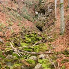
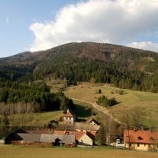
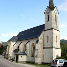
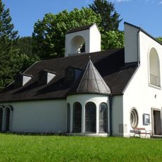
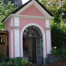
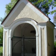
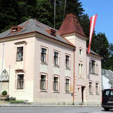
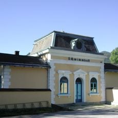
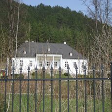
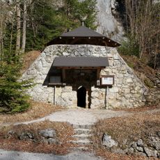
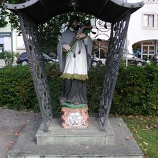
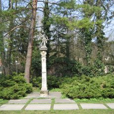
Muggendorf, municipality in Wiener Neustadt District, Lower Austria, Austria
Location: Wiener Neustadt(Land) District
Elevation above the sea: 450 m
Shares border with: Ramsau, Furth an der Triesting, Pottenstein, Pernitz, Gutenstein, Rohr im Gebirge
Email: gemeinde@muggendorf.at
Website: http://muggendorf.at
GPS coordinates: 47.90000,15.93333
Latest update: April 10, 2025 19:23
Myra Falls
1.7 km
Gutenstein Alps
2.6 km
Unterberg
9.5 km
Steinwandklamm
3.5 km
Schloss Hoyos
4.2 km
Burgruine Gutenstein
4.3 km
Conrad Observatory
6.3 km
Miralucke
7.1 km
Almesbrunnberg
4.1 km
Pfarrkirche Gutenstein
4.4 km
Pfarrkirche Pernitz
1.9 km
Filialkirche Ortmann
2.6 km
Bildstock Amöd
7.8 km
Villa Trebesiner Gutenstein, Lower Austria
3.9 km
Ferdinand-Raimund-Kapelle Gutenstein, Lower Austria
3.8 km
Friedhofskapelle, Pernitz
1.3 km
Kapelle, Pernitz
1.9 km
Johannes-Nepomuk-Kapelle in Gutenstein, Lower Austria
4.4 km
Rathaus/Gemeindeamt in Gutenstein, Lower Austria
4.4 km
Badeanlage in Gutenstein, Lower Austria
3.9 km
Sog. Raimundvilla
921 m
Pfarrheim
1.8 km
Kindergarten, Waidmannsfeld
2.4 km
Ehem. Kalkofen
2.1 km
Figurenbildstock hl. Johannes Nepomuk bei der Mirabachbrücke
2 km
Figurenbildstock hl. Sebastian
1.8 km
Untere Himmelsreithhöhle
7 km
Volkshaus, Waidmannsfeld
2.3 kmReviews
Visited this place? Tap the stars to rate it and share your experience / photos with the community! Try now! You can cancel it anytime.
Discover hidden gems everywhere you go!
From secret cafés to breathtaking viewpoints, skip the crowded tourist spots and find places that match your style. Our app makes it easy with voice search, smart filtering, route optimization, and insider tips from travelers worldwide. Download now for the complete mobile experience.
A unique approach to discovering new places❞
— Le Figaro
All the places worth exploring❞
— France Info
A tailor-made excursion in just a few clicks❞
— 20 Minutes