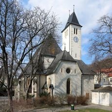
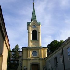
Hackenberg, Vienna, Mountain peak in Döbling district, Vienna, Austria
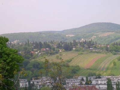
Hackenberg is a mountain peak in Vienna's Döbling district that rises to 306 meters and features sandy and gravelly terrain. The summit sits between two streams and is connected by several walking paths that make it easy to reach from nearby neighborhoods.
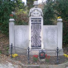
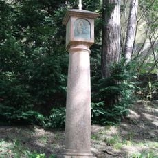
The mountain first appeared in a written record within a purchase contract for Rudolph I of Bohemia, where it was called 'hakkenperge' based on field measurements. This name hint at how people understood and used the landscape during medieval times.
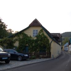
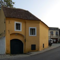
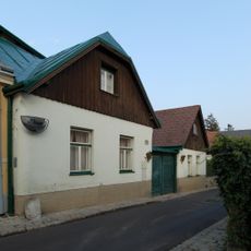
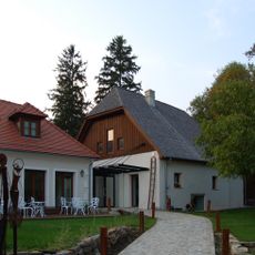
The southwestern slopes have long been covered with vineyards that shape the local character, and some remain actively tended today. This winemaking tradition gives the area a distinct agricultural identity that visitors notice when walking through the neighborhood.
The summit is accessible via several walking paths, including a route of about 1.6 kilometers from Sievering with moderate elevation changes. The easy access and good connections to nearby neighborhoods make it a convenient destination for a day outing.
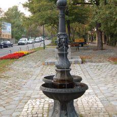
At the base of the peak along Krottenbachstraße sits a freshwater catchment system that has long supplied drinking water to parts of Vienna. This hidden infrastructure shows how the mountain played a practical role in the city's daily life in ways visitors rarely notice.
The community of curious travelers
AroundUs brings together thousands of curated places, local tips, and hidden gems, enriched daily by 60,000 contributors worldwide.