
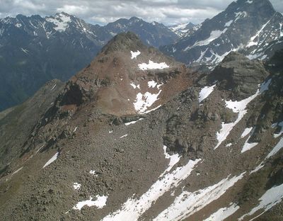
Saxuirer Feuerkogel, mountain in Austria
Location: Tyrol
Elevation above the sea: 2,806 m
GPS coordinates: 47.07752,10.79716
Latest update: March 5, 2025 00:29
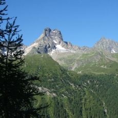
Rofelewand
5.3 km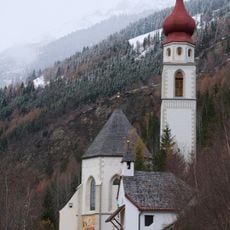
Wallfahrtskirche Kaltenbrunn
4.5 km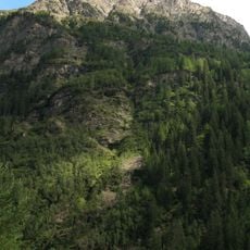
Schweikert
5.2 km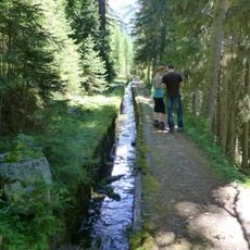
Kaunerberger Hangkanal
2.6 km
Gsallkopf
4.4 km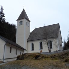
Pfarrkirche St. Leonhard im Pitztal
4.1 km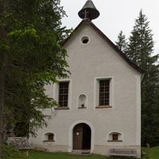
Wallfahrtskirche hl. Maria am Bichele
4.3 km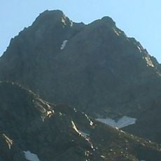
Kleiner Dristkogel
2.6 km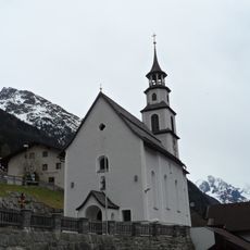
Expositurkirche Zaunhof, St. Leonhard im Pitztal
3.8 km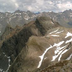
Aherkogel
836 m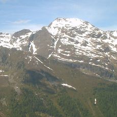
Schalwand
2.2 km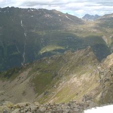
Kitzmörder
1.6 km
Tiroler Steinbockzentrum
3.8 km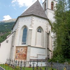
Friedhof Kaltenbrunn
4.5 km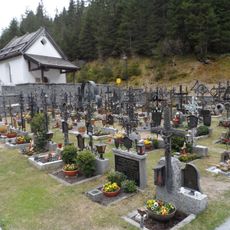
Friedhof und Kapelle, St. Leonhard im Pitztal
4.1 km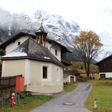
Ortskapelle Piösmes, St. Leonhard im Pitztal
5.3 km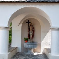
Wasserkapelle Kaltenbrunn
4.5 km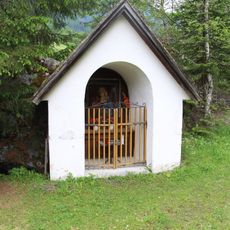
Josefskapelle Zaunhof
3.7 km
Herz-Jesu-Kapelle in Ritzenried
5.1 km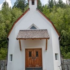
Totenkapelle Kaltenbrunn
4.5 km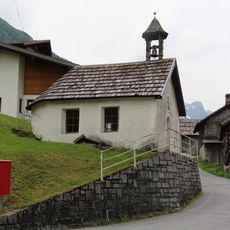
Marienkapelle Bichl
2.9 km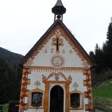
Lourdeskapelle in Schußlehen
4.4 km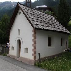
Mariahilfkapelle Enzenstall
3.5 km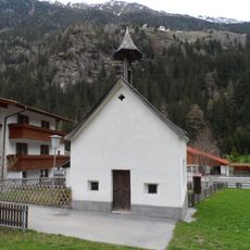
Kapelle Wiese, St. Leonhard im Pitztal
4 km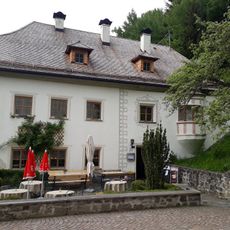
Kaltenbrunn
4.5 km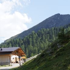
Arzler Alm
4.3 km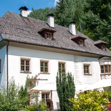
Widum Kaltenbrunn
4.5 km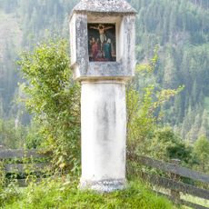
6 Bildstöcke Richtung Kaltenbrunn
5.2 kmReviews
Visited this place? Tap the stars to rate it and share your experience / photos with the community! Try now! You can cancel it anytime.
Discover hidden gems everywhere you go!
From secret cafés to breathtaking viewpoints, skip the crowded tourist spots and find places that match your style. Our app makes it easy with voice search, smart filtering, route optimization, and insider tips from travelers worldwide. Download now for the complete mobile experience.

A unique approach to discovering new places❞
— Le Figaro
All the places worth exploring❞
— France Info
A tailor-made excursion in just a few clicks❞
— 20 Minutes