Gumpoldskirchen, municipality in Mödling District, Lower Austria, Austria
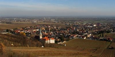
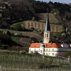
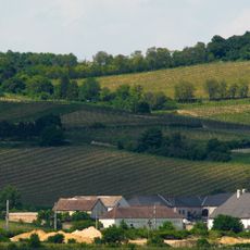
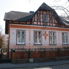
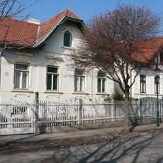
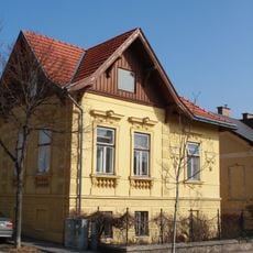
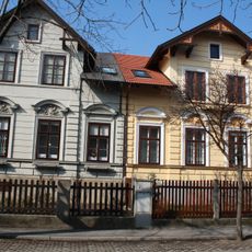
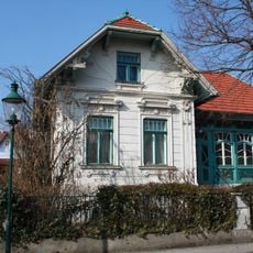
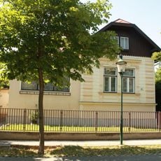
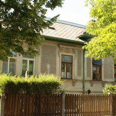
Gumpoldskirchen is a market town in the Mödling District of Lower Austria, set on a hillside south of Vienna, with narrow lanes and tightly packed houses. Its slopes are covered by vineyards growing Zierfandler and Rotgipfler, two white grape varieties that are grown in very few places outside this area.
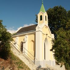
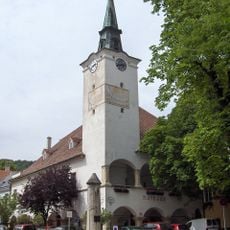
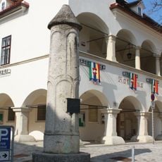
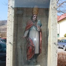
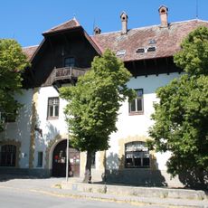
The area around Gumpoldskirchen has been settled since the Stone Age, and the town took its current form during the Middle Ages when the Teutonic Order established a presence here. The Order built a castle that still stands in the town today.
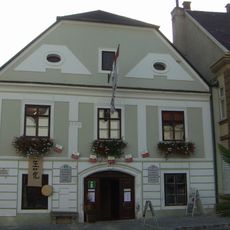
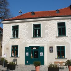
The town is shaped by old winemaking families who open their cellars and taverns to visitors throughout the year. Walking through the streets, you will notice signs pointing to local estates where wine can be tasted and bought directly from the producer.
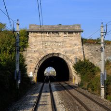
Gumpoldskirchen sits just a short distance south of Vienna and is easy to reach by regional train. The town is compact and easy to walk, with most wine estates and taverns found close to the center.
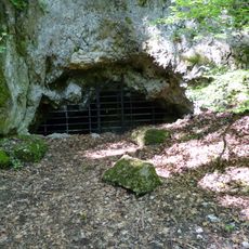
A natural spring beneath the town has fed a water pipeline to Vienna since 1880, carrying drinking water across the countryside for well over a century. A walking trail follows this pipeline through the fields and hills, giving visitors a way to explore the area beyond the vineyards.
The community of curious travelers
AroundUs brings together thousands of curated places, local tips, and hidden gems, enriched daily by 60,000 contributors worldwide.