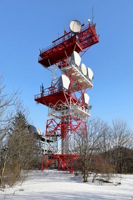
Sender Anninger, Transmission facility at Vierjochkogel, Gaaden, Austria
Sender Anninger is a radio transmission facility located at 650 meters above sea level on Vierjochkogel at the eastern edge of the Wienerwald forest. The complex houses multiple broadcasting antennas and emergency communication equipment serving the Vienna basin and surrounding areas.
The site held two Luftwaffe military transmitters during World War II before the current civilian facility was constructed in 1956. This shift from military to civilian communications established its role in Austria's modern telecommunications network.
The facility represents a central node in Austrian telecommunications infrastructure, connecting the southern route of A1 Telekom Austria's network across the region.
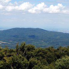
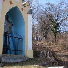
The facility is fenced and not open to the public for safety reasons. The mountainous woodland setting provides viewing opportunities from nearby hiking trails that pass through the surrounding forest.
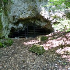
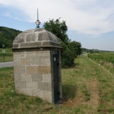
Near the transmission facility, visitors can spot stone remains of an older water reservoir from a previous era of site use. These ruins reveal how the location served different purposes across different periods.
The community of curious travelers
AroundUs brings together thousands of curated places, local tips, and hidden gems, enriched daily by 60,000 contributors worldwide.