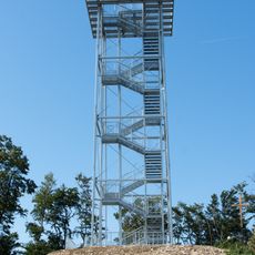
Anninger, Mountain summit in Gaaden, Austria
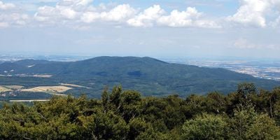
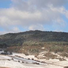
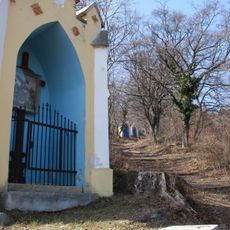
Anninger is a 675 meter high mountain in the Wienerwald region with steep slopes and multiple hiking trails crisscrossing its terrain. The landscape features wooded areas, open sections, and natural formations that create varied scenery along the routes.
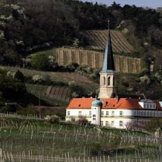
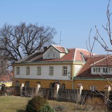
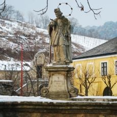
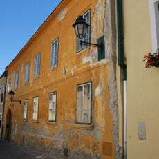
The mountain has been a known feature of the Lower Austrian landscape since medieval times and served as a resource for local communities. Trade routes and pathways crossing the mountain helped connect settlements in the region.
The mountain serves as a popular destination for day-trippers and hikers from Vienna and surrounding areas. Visitors gather at the mountain huts to rest and enjoy meals together during their outings.
The trails to the summit are accessible from various starting points including the village of Gumpoldskirchen, with hiking times varying depending on the route chosen. Good footwear is important since the paths can be steep and slippery when wet.
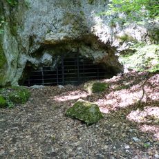
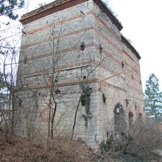
The mountain contains several cave systems such as Fuchsloch I and II that visitors can explore. These natural formations provide a rare glimpse into the geological history of the region.
Location: Gaaden
Elevation above the sea: 675 m
GPS coordinates: 48.04750,16.24590
Latest update: December 10, 2025 16:02
Deutschordensschloss Gumpoldskirchen
2.1 km
Dreidärrischen-Höhle
688 m
Wilhelmswarte
1 m
Jubiläumswarte
920 m
Sender Anninger
745 m
Pfarrkirche Gumpoldskirchen
2.1 km
Pfaffstättner Kogel
1.9 km
Bergerhaus Gumpoldskirchen
2.3 km
Feuerwehrmuseum Gumpoldskirchen
2.1 km
Gumpoldskirchen town hall
2.3 km
Schwarzer Adler, Gumpoldskirchen
2.3 km
Brunnen
2.3 km
Pranger Gumpoldskirchen
2.3 km
Unterer Melkerhof
2.3 km
Bildstock, sog. Wider-Kreuz
2.1 km
Figurenbildstock hl. Urban
2.2 km
Ölbergrelief
2.2 km
Pfarrhof Gumpoldskirchen
2.2 km
Kalkofen Gumpoldskirchen
2 km
Bildstock
2.2 km
Weinbaumuseum Bergerhaus
2.3 km
Brücke mit Nepomukstatue, Gumpoldskirchen
2.2 km
Wasserversorgungsanlage
2.1 km
Berghof (Heurigenlokal Melkerhof)
2.2 km
Bürgerhaus
2.4 km
Mang Karner-Hof
2.2 km
Kalvarienberg
2 km
Teil der 1. Wiener Hochquellenleitung
2.5 kmVisited this place? Tap the stars to rate it and share your experience / photos with the community! Try now! You can cancel it anytime.
Discover hidden gems everywhere you go!
From secret cafés to breathtaking viewpoints, skip the crowded tourist spots and find places that match your style. Our app makes it easy with voice search, smart filtering, route optimization, and insider tips from travelers worldwide. Download now for the complete mobile experience.
A unique approach to discovering new places❞
— Le Figaro
All the places worth exploring❞
— France Info
A tailor-made excursion in just a few clicks❞
— 20 Minutes