Wilhelmswarte, Observation tower in Gaaden, Austria.
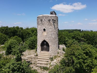
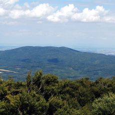
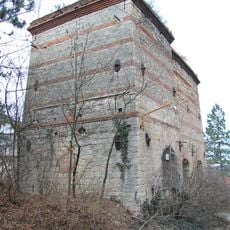
Wilhelmswarte is an observation tower on Anninger mountain in Gaaden, situated at about 675 meters elevation. The circular stone structure features a pointed arched entrance and allows visitors to look out in all directions over the Vienna Woods region.
The structure was built in 1887 under architect Martin Breyer's direction and was named after Archduke Wilhelm of Austria. It stands as a protected monument reflecting the building practices of the region during that period.
The name honors Archduke Wilhelm of Austria, and visitors notice the solid stone construction reflecting late 19th-century building styles. Hikers appreciate how this structure blends into the forested landscape while serving as a recognizable landmark.
Several hiking routes of varying difficulty lead to the tower and connect the towns of Gumpoldskirchen and Gaaden. Visitors should wear sturdy footwear and allow extra time, especially if they want to spend time enjoying the views from above.
The round design of the tower with its pointed arched entrance was an unusual choice for the architecture of that era. This distinctive shape lets visitors scan the complete surrounding landscape from within the structure.
The community of curious travelers
AroundUs brings together thousands of curated places, local tips, and hidden gems, enriched daily by 60,000 contributors worldwide.