
Römerzeitliche Siedlung Breitwiesen, Denkmalgeschütztes Objekt in Lang (9115)
Location: Lang
Address: Breitwiesen
GPS coordinates: 46.85807,15.50272
Latest update: March 31, 2025 20:39
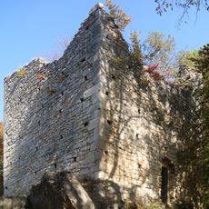
Castle Alt-Wildon
3 km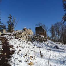
Castle Neu-Wildon
3 km
Wildoner Berg
1.5 km
Schloss Schwarzenegg
2.6 km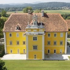
Schloss Eybesfeld
2 km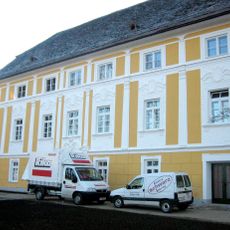
Castle Murstaetten
2.6 km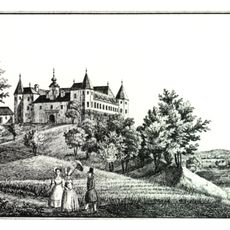
Schloss Freybüchel
939 m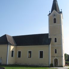
Pfarrkirche Lang
2.3 km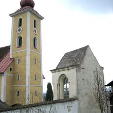
Friedhof und Friedhofsmauer mit Kapelle
1.7 km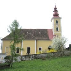
Kath. Pfarrkirche hl. Margaretha
1.7 km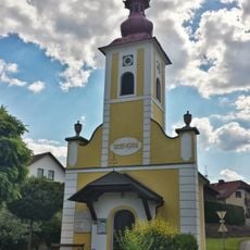
Ortskapelle Mariä Verkündung
3 km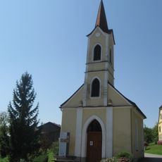
Ortskapelle
2 km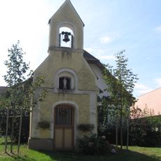
Flur-/Wegkapelle
1.7 km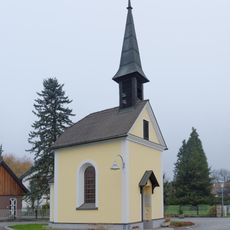
Ortskapelle
3 km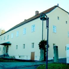
Sogen. Knopperhaus
2 km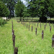
Soldatenfriedhof Lang
2.8 km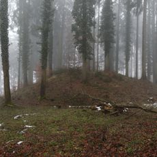
Barrow cemetery Unterhaus
2.1 km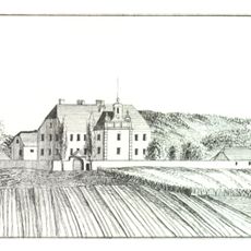
Nebengebäude von Schloss Eybesfeld
1.9 km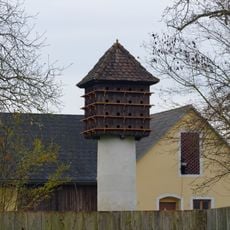
Taubenschlag
2 km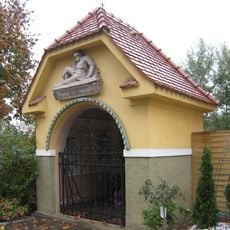
Kriegerdenkmal
2.7 km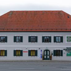
Rathaus/Gemeindeamt
2.5 km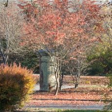
Transformator-Häuschen
2.7 km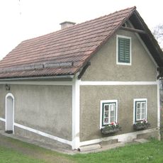
Mesnerhaus
1.7 km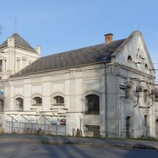
Kraftwerk Lebring
2.6 km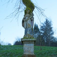
Figurenbildstock hl. Johannes Nepomuk
2.6 km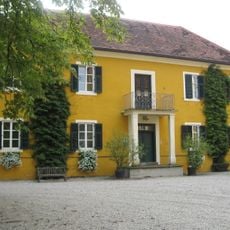
Verwalterhaus
2 km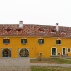
Wohnhaus, Kavaliershaus
2 km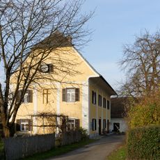
Pfarrhof
2.2 kmReviews
Visited this place? Tap the stars to rate it and share your experience / photos with the community! Try now! You can cancel it anytime.
Discover hidden gems everywhere you go!
From secret cafés to breathtaking viewpoints, skip the crowded tourist spots and find places that match your style. Our app makes it easy with voice search, smart filtering, route optimization, and insider tips from travelers worldwide. Download now for the complete mobile experience.

A unique approach to discovering new places❞
— Le Figaro
All the places worth exploring❞
— France Info
A tailor-made excursion in just a few clicks❞
— 20 Minutes