
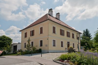
Pfarrhof, Denkmalgeschütztes Objekt in Dunkelsteinerwald (90290)
Location: Gemeinde Dunkelsteinerwald
GPS coordinates: 48.25095,15.42191
Latest update: March 4, 2025 02:05
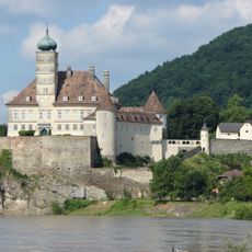
Schönbühel Castle
3.7 km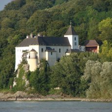
Kloster Schönbühel
3.6 km
Castra Namare
3.4 km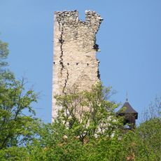
Burgruine Wolfstein, Schönbühel-Aggsbach
2.7 km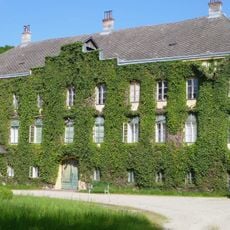
Schloss Sitzenthal
4.4 km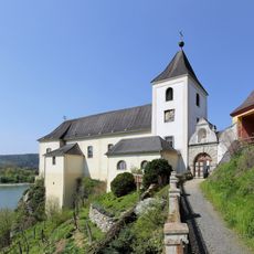
Pfarrkirche Schönbühel
3.6 km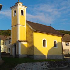
Ortskapelle Thal
3.3 km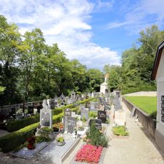
Friedhof mit Torbau und Gerätehaus
3.5 km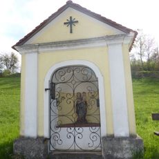
Wegkapelle
1.8 km
Wegkapelle, Rosenkranzkapelle
3.4 km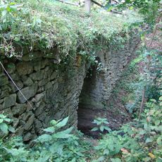
Römerbrücke
2.4 km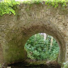
Römerbrücke Oberlanzing
2.4 km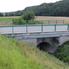
Historische Steinbrücke
3.7 km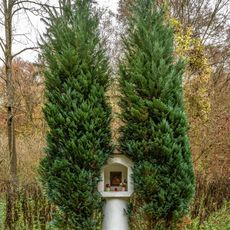
Weißes Kreuz, Aggsbach
3.8 km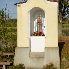
Bildstock Kirchengasse, Mauer bei Melk
2.4 km
Historische Steinbrücke
3.7 km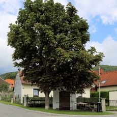
Bildstock Grimsing
4.4 km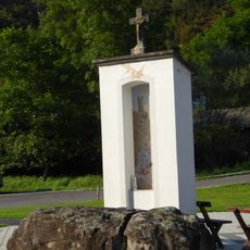
Wolfgangsäule Wolfstein
2.6 km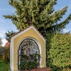
Wayside shrine 90690, Neuhofen
4 km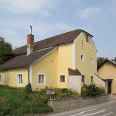
Hofanlage
3 km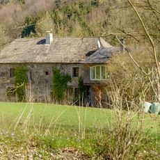
Hausberg Schlössel
2.2 km
Hochstraße
1.7 km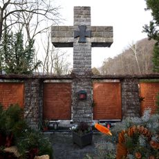
Kriegerdenkmal
3.5 km
Historische Steinbrücke
3.7 km
Historic road Hochstraße, Dunkelsteinerwald
1.4 km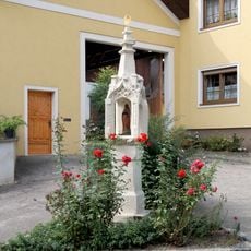
Bildstock
2.7 km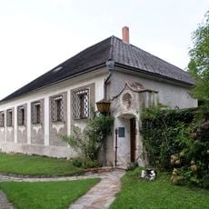
Pfarrhof
2.4 km
Ehem. Volksschule
75 mReviews
Visited this place? Tap the stars to rate it and share your experience / photos with the community! Try now! You can cancel it anytime.
Discover hidden gems everywhere you go!
From secret cafés to breathtaking viewpoints, skip the crowded tourist spots and find places that match your style. Our app makes it easy with voice search, smart filtering, route optimization, and insider tips from travelers worldwide. Download now for the complete mobile experience.

A unique approach to discovering new places❞
— Le Figaro
All the places worth exploring❞
— France Info
A tailor-made excursion in just a few clicks❞
— 20 Minutes