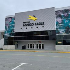
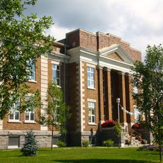
Waswanipi, Cree village in Eeyou Istchee, Canada
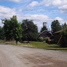
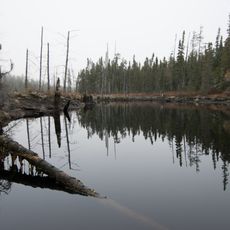
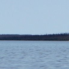
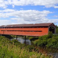
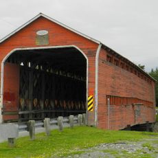
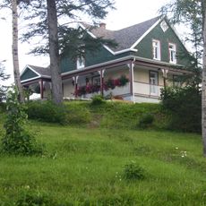
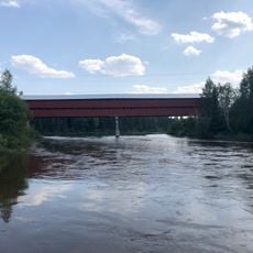
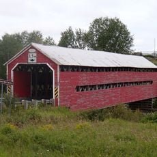
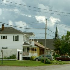
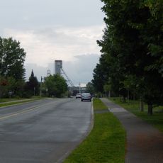
Waswanipi is a Cree community in Eeyou Istchee located where three rivers meet: the Opicawa, Chibougamau, and Waswanipi. The settlement spreads along these waterways and connects to larger centers in Quebec through road networks.
The village gained official recognition in 1978, marking a key moment when the Cree nation secured formal sovereignty over their territory. This agreement became foundational to how indigenous self-governance operates in this region today.
The name Waswanipi comes from the Cree language meaning Light on the Water, reflecting how the community has always depended on rivers for food and travel. You can see this connection to water woven through daily life and how people move through the village.
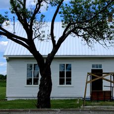
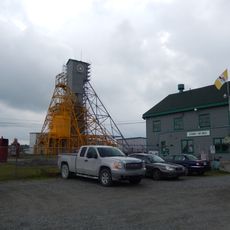
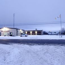
The community is accessible year-round, though warmer months offer easier travel conditions for visitors arriving by car. Keep in mind this is a small settlement, so local services and shops are limited compared to larger cities.
Many residents speak three languages fluently: English, French, and Cree, reflecting the multilingual character of the region. This language diversity shapes daily communication in ways visitors may not immediately notice.
Location: Eeyou Istchee
Inception: 1978
Shares border with: Waswanipi, Eeyou Istchee James Bay Regional Government
Website: https://waswanipi.com
GPS coordinates: 49.73330,-76.16670
Latest update: December 14, 2025 11:23
Centre Agnico Eagle
216.5 km
Cathedral of St Teresa of Avila
192 km
Cité de l'Or
216.7 km
École du rang 2 d'Authier
225.3 km
Ashuapmushuan Wildlife Reserve
204 km
Former Lamaque Mine
216.7 km
Lake Nemiscau
192.6 km
Val-Senneville
203.9 km
Bourlamaque
216.2 km
Pont de l'Arche de Noé
154 km
Pont Champagne
212.3 km
Pont des Chutes
147.5 km
La Corne Nursing Station
203.2 km
Maison Hector-Authier
192.3 km
Pont de l'Orignal
152.6 km
Obalski Regional Park
131.8 km
Pont Alphonse-Normandin
182.8 km
Pont Émery-Sicard
180.6 km
Pont Levasseur
221.5 km
Église Saint-Sauveur (Val-d'Or)
216.8 km
Évêché d'Amos
191.3 km
Ancien palais de justice d'Amos
191.7 km
Ruisseau Tourville
151.6 km
Salon de quilles Bolorama
130.6 km
Château d'eau de l'ancienne mine Sullivan
216.5 km
Dubuisson
222.5 km
The Former Lamaque Mine and the Bourlamaque Mining Village
216.8 km
Site patrimonial de la Maison-Hector-Authier
192.3 kmVisited this place? Tap the stars to rate it and share your experience / photos with the community! Try now! You can cancel it anytime.
Discover hidden gems everywhere you go!
From secret cafés to breathtaking viewpoints, skip the crowded tourist spots and find places that match your style. Our app makes it easy with voice search, smart filtering, route optimization, and insider tips from travelers worldwide. Download now for the complete mobile experience.
A unique approach to discovering new places❞
— Le Figaro
All the places worth exploring❞
— France Info
A tailor-made excursion in just a few clicks❞
— 20 Minutes