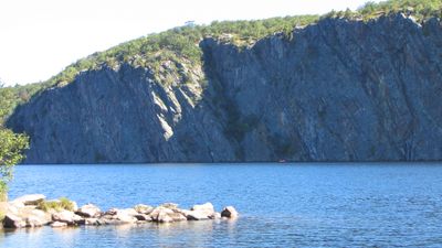
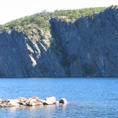
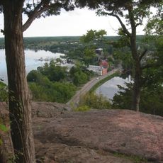
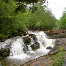
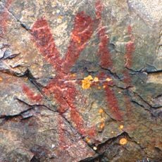
Mazinaw Rock, Stone cliff at Bon Echo Provincial Park, Ontario, Canada.
Mazinaw Rock is a large granite cliff on the eastern shore of Mazinaw Lake within Bon Echo Provincial Park. The stone face rises prominently above the water and stretches across a lengthy section of the shoreline, where red ochre drawings are visible on its surface.
Indigenous peoples created hundreds of red ochre drawings on the rock surface, making this site sacred for the Anishinaabe for centuries. These markings are considered sacred records that hold spiritual and cultural importance for the communities.
The rock face displays depictions of Nanabush, an important figure in Anishinaabe mythology, through ancient drawings created on the stone. These images tell stories that have held meaning for Indigenous peoples of this region for generations.
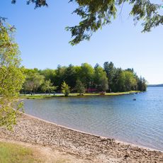
The best way to view the rock is by canoe from the water, as the drawings are most visible from that vantage point. Visitors should come during calm weather conditions and approach the site with respect, as it holds sacred significance for Anishinaabe communities.
The rock extends approximately 250 meters below the water surface, making Mazinaw Lake one of the deepest in the region. This hidden depth shows how dramatic the terrain is beneath the water, even though the cliff itself remains the most striking feature.
The community of curious travelers
AroundUs brings together thousands of curated places, local tips, and hidden gems, enriched daily by 60,000 contributors worldwide.