
Pont Sauvé, bridge in Saint-Étienne-de-Beauharnois, Quebec, Canada
Location: Saint-Étienne-de-Beauharnois
GPS coordinates: 45.24917,-73.91833
Latest update: May 13, 2025 12:11
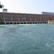
Beauharnois Hydroelectric Generating Station
7.2 km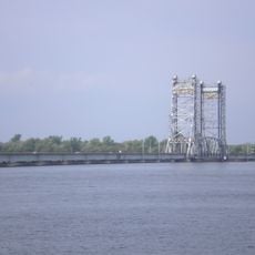
Larocque Bridge
15.6 km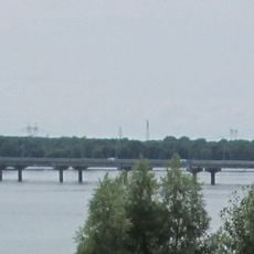
Serge Marcil Bridge
9.9 km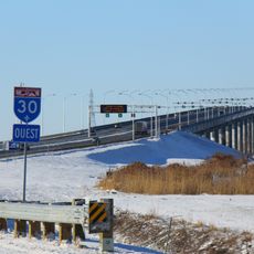
Madeleine Parent Bridge
5.4 km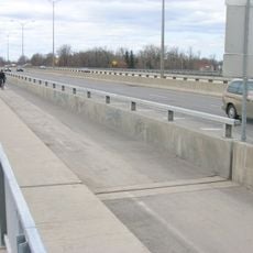
Taschereau Bridge
16.5 km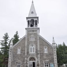
Sainte-Jeanne-de-Chantal Church
11.2 km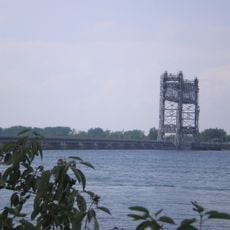
Pont Saint-Louis-de-Gonzague
6.9 km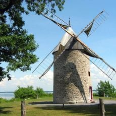
Pointe-du-Moulin Windmill
13.7 km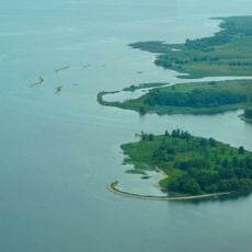
Îles de la Paix National Wildlife Area
10.8 km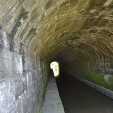
Rivière-Saint-Pierre Aqueduct
7.4 km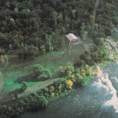
Pointe-du-Buisson
8.6 km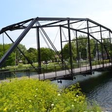
Pont Jean-De La Lande
16.4 km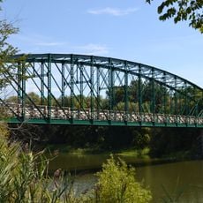
Pont Turcot
7.1 km
Maison Trestler
16.9 km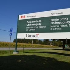
Battle of the Châteauguay National Historic Site
10.1 km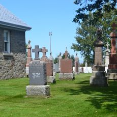
Cimetière de Saint-Urbain-Premier
14.6 km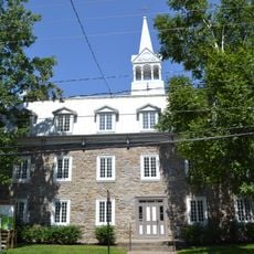
Bâtiment Joseph-Olivier-Archambault
10.5 km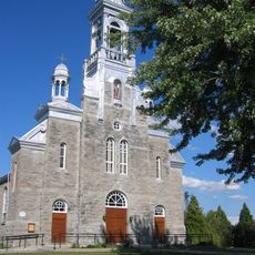
Site patrimonial du Cœur religieux de Saint-Urbain-Premier
14.6 km
Église de Saint-Urbain-Premier
14.5 km
Site du patrimoine de l'église Sainte-Jeanne-de-Chantal
11.2 km
Site patrimonial de l'Entrée-Inférieure-de-l'Ancien-Canal-de-Beauharnois
7.8 km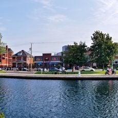
Salaberry-de-Valleyfield
11.6 km
Île Perrot Windmill and Miller's House
14 km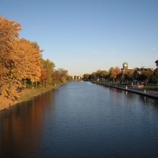
Site patrimonial de l'Entrée-Supérieure-de-l'Ancien-Canal-de-Beauharnois
16.3 km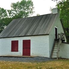
Maison du Meunier-de-Pointe-du-Moulin
14 km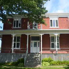
Presbytère de Saint-Urbain-Premier
14.5 km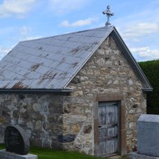
Charnier du cimetière de Saint-Urbain-Premier
14.6 km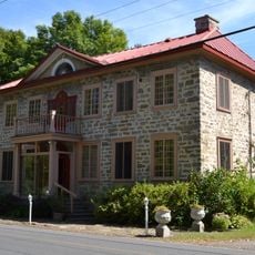
Maison Sauvageau-Sweeny
15.9 kmReviews
Visited this place? Tap the stars to rate it and share your experience / photos with the community! Try now! You can cancel it anytime.
Discover hidden gems everywhere you go!
From secret cafés to breathtaking viewpoints, skip the crowded tourist spots and find places that match your style. Our app makes it easy with voice search, smart filtering, route optimization, and insider tips from travelers worldwide. Download now for the complete mobile experience.

A unique approach to discovering new places❞
— Le Figaro
All the places worth exploring❞
— France Info
A tailor-made excursion in just a few clicks❞
— 20 Minutes