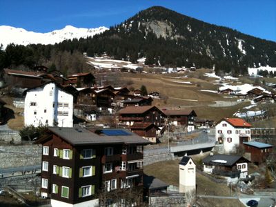
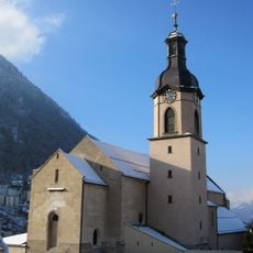
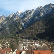
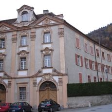
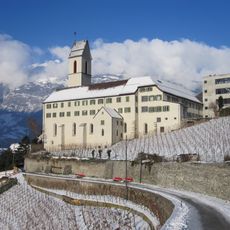
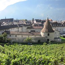
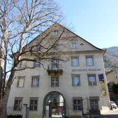
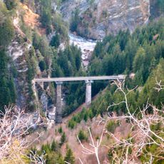
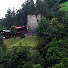
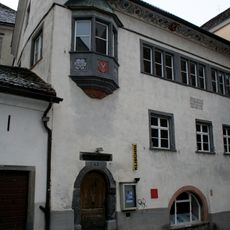
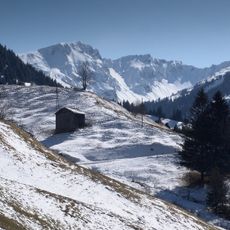
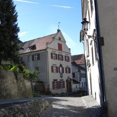
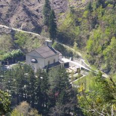
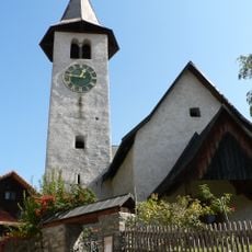
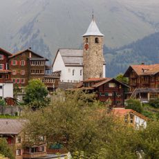
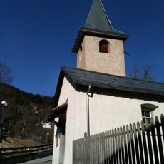
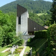
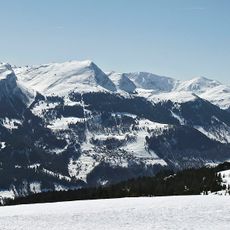
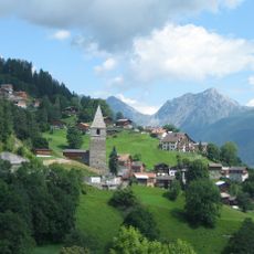
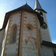
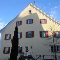
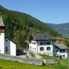
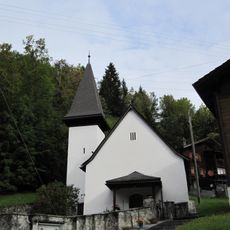
Castiel, former municipality of Switzerland in Graubünden
Location: Arosa
Location: Grisons
Elevation above the sea: 1,174 m
Shares border with: Trimmis, Says, Praden
Website: http://castiel.ch
GPS coordinates: 46.83306,9.59972
Latest update: April 4, 2025 21:01
Cathedral of Saint Mary of the Assumption
5.1 km
Montalin
3.5 km
Bishop's Castle
5.2 km
Saint Lucius church
5 km
Sennhof (Chur)
5.3 km
Rätisches Museum
5.3 km
Castielertobel Viaduct
536 m
Bernegg Castle, Graubünden
961 m
St. Luzikapelle Chur
4.5 km
Iglesia de San Esteban
4.9 km
Marsöl
5.3 km
Klibühni Chur
5.3 km
Hochwang
5.1 km
Oberer Spaniöl, Chur
5.2 km
Crematoria Chur
4.7 km
Reformierte Kirche Maladers
3 km
Reformierte Kirche Tschiertschen
1.8 km
Reformierte Kirche Lüen
1 km
Castielertobel-Bridge
836 m
Reformierte Kirche Passugg-Araschgen
4.2 km
Gürgaletsch
4.2 km
Reformierte Kirche St. Peter (Schanfigg)
3.4 km
Rotes Haus (Chur)
5.3 km
Reformierte Kirche Castiel
619 m
Unterer Spaniöl
5.3 km
Reformierte Kirche Praden
1.6 km
Reformierte Kirche Molinis
4.3 km
Convict building
4.8 kmReviews
Visited this place? Tap the stars to rate it and share your experience / photos with the community! Try now! You can cancel it anytime.
Discover hidden gems everywhere you go!
From secret cafés to breathtaking viewpoints, skip the crowded tourist spots and find places that match your style. Our app makes it easy with voice search, smart filtering, route optimization, and insider tips from travelers worldwide. Download now for the complete mobile experience.
A unique approach to discovering new places❞
— Le Figaro
All the places worth exploring❞
— France Info
A tailor-made excursion in just a few clicks❞
— 20 Minutes