Arosa

Log in to your account

AroundUs is a community-driven map of interesting places, built by curious explorers like you. It grows with every review, story, and photo you share.
Connect to save your favorite spots, contribute locations, and create personalized routes.
Continue with Google
Continue with Apple
Continue with X
Continue with Facebook
Continue with email
By continuing, you accept our Terms and Conditions and our Privacy Policy
Create an account
Add to collection
Map
Suggest a change
Share

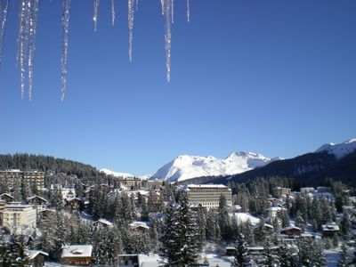
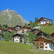
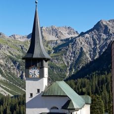
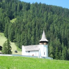
Arosa, Mountain resort municipality in Plessur Region, Switzerland

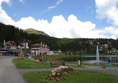
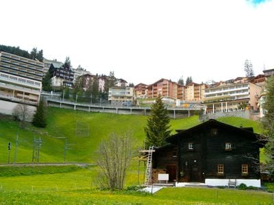
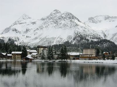
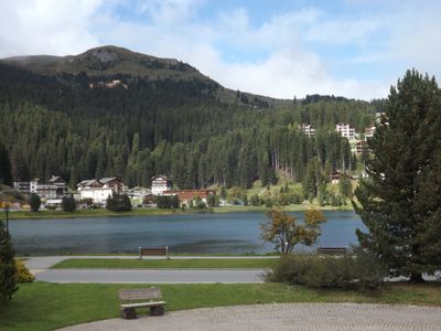
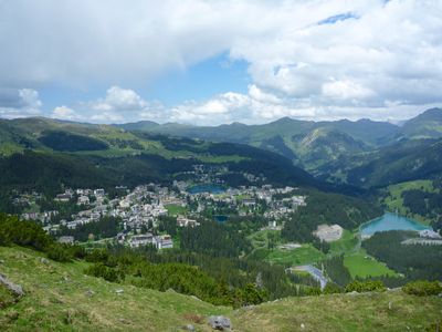
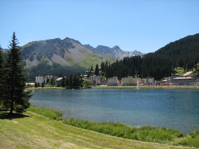
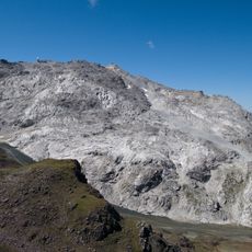
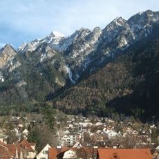
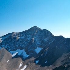
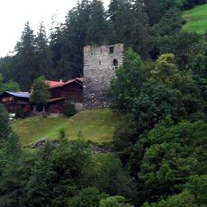
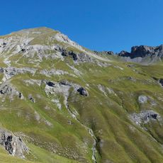
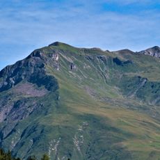
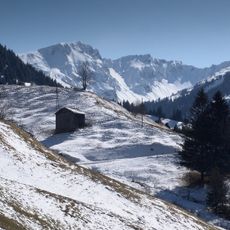
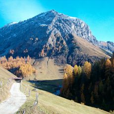
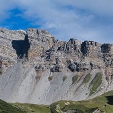
Arosa is a mountain town in the Plessur Region situated on a high valley surrounded by forests and slopes. The terrain includes ski runs, hiking paths, and residential areas scattered across different elevations where forests gradually transition to open alpine meadows.

The area developed as a health resort in the late 1800s when visitors came for the mountain air and recuperation. The transition to winter sports began decades later when ski infrastructure was first built to support growing interest in Alpine activities.

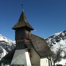
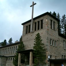
The German-speaking residents shape daily life through local customs and traditions that reflect the Alpine setting. You notice this in how people use the streets and buildings, and in the way the community organizes itself around mountain rhythms.

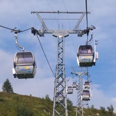
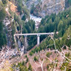
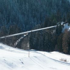
The town connects to Chur via a cog railway that runs year-round, providing regular access for visitors. Accommodations and restaurants are spread throughout, making it easy to find services depending on which part of the area you explore.

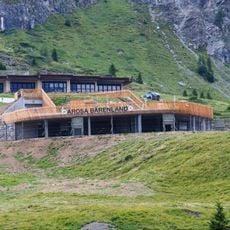
The Arosa Bear Sanctuary houses rescued bears in spacious enclosures with observation decks built high above ground level. Few visitors realize this is one of just a handful of places where you can observe such animals up close in an environment designed for their wellbeing.

Location: Plessur Region

Elevation above the sea: 2,003 m

Shares border with: Conters im Prättigau, Davos, Fideris, Jenaz, Klosters, Langwies, Molinis, Pagig, Peist, Says, Tschiertschen-Praden, Vaz/Obervaz, Alvaneu, Furna, Lantsch/Lenz, Trimmis, Wiesen, Tschiertschen

Website: https://gemeindearosa.ch

GPS coordinates: 46.78306,9.68306

Latest update: December 14, 2025 19:49

Photos
Reviews

Visited this place? Tap the stars to rate it and share your experience / photos with the community! Try now! You can cancel it anytime.

« Arosa - Mountain resort municipality in Plessur Region, Switzerland » is provided by Around Us (aroundus.com). Images and texts are derived from Wikimedia project under a Creative Commons license. You are allowed to copy, distribute, and modify copies of this page, under the conditions set by the license, as long as this note is clearly visible.

Discover hidden gems everywhere you go!

From secret cafés to breathtaking viewpoints, skip the crowded tourist spots and find places that match your style. Our app makes it easy with voice search, smart filtering, route optimization, and insider tips from travelers worldwide. Download now for the complete mobile experience.

Around Us App Screenshot

A unique approach to discovering new places

Le Figaro

All the places worth exploring

France Info

A tailor-made excursion in just a few clicks

20 Minutes