Chüpfenflue, Mountain summit in Grisons, Switzerland
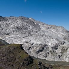
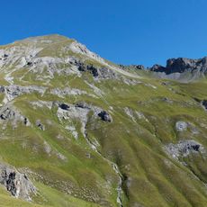
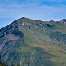
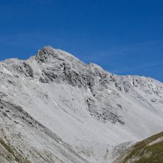
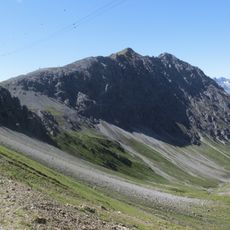
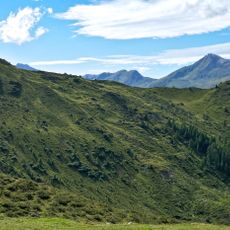
Chüpfenflue is a mountain summit in the Plessur Alps that rises to 2,658 meters and sits between the Langwies and Davos regions. Multiple marked trails lead up the slopes, with the Latschüelfurgga col at 2,409 meters providing the main approach route.
Over centuries the peak served as a natural landmark in the alpine landscape and was established as a boundary between Langwies and Davos in the 19th century. This position made it an important marker when regional borders in Grisons were defined.
The name Chüpfenflue comes from Swiss German: Chüpfe for a mountain knoll or peak and Fluh for a rock face or crag. The summit marks the municipal boundary between Davos and Arosa, and the surrounding valleys belong to the high valley of Sapün, a side valley of the Schanfigg.
Hikers should wear sturdy mountain boots and be prepared for changing weather, as conditions shift quickly at this elevation. The best season to climb is from June to September when the snow has melted and the paths are clear.
The name comes from Swiss German: Chüpfe for a mountain knoll or peak and Fluh for a rock face or crag. The summit marks the municipal boundary between Davos and Arosa, and the two valleys below it, the Haupter Tal and the Chüpfer Tälli, belong to the Sapün high valley above Schanfigg.
The community of curious travelers
AroundUs brings together thousands of curated places, local tips, and hidden gems, enriched daily by 92,716 contributors worldwide.