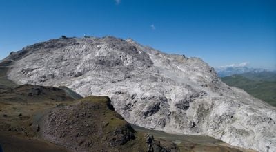
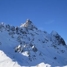
Weissfluh, Mountain peak in Grisons, Switzerland
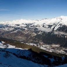
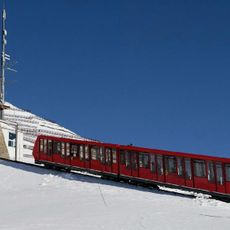
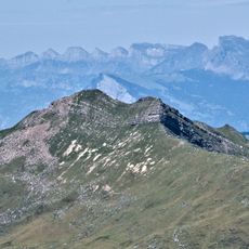
Weissfluh is a mountain summit in the Plessur Alps of Grisons, sitting at 2,843 meters (9,327 feet) and marking the boundary between the Prättigau and Schanfigg valleys. An aerial tramway connects the nearby Weissfluhjoch station to the top, giving access to ski runs and hiking routes that descend on both sides.
In the early decades of the 20th century, cable car systems began opening up the mountains around Davos, and the Weissfluh was progressively made accessible for winter sports. That development turned the surrounding area into one of the most visited ski regions in the Alps.
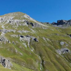
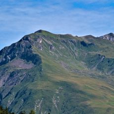
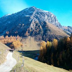
The Weissfluh is closely tied to the identity of Davos as a mountain destination, and reaching the top feels like a natural goal for anyone spending time in the area. On clear days, people gather at the summit to look out over the Prättigau on one side and the Schanfigg valley on the other.
The easiest way to reach the top is by taking the aerial tramway from Weissfluhjoch, which saves a long uphill walk. If you plan to hike, wear sturdy boots and carry a rain layer since weather at this altitude can shift without much warning.
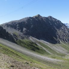
A weather radar installation has been running on the summit since 2014, continuously collecting data to support regional forecasting and avalanche research. The station is small and easy to miss, but it feeds into the safety systems that protect valleys below during winter storms.
The community of curious travelers
AroundUs brings together thousands of curated places, local tips, and hidden gems, enriched daily by 60,000 contributors worldwide.