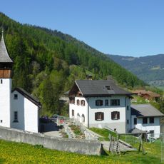
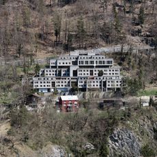
Montalin, Alpine summit in Landquart Region, Switzerland.
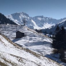
Montalin is an alpine summit in the Landquart Region that reaches 2266 meters in elevation. The mountain is crisscrossed by hiking trails of varying difficulty that wind through the northern landscapes of Graubünden.
The Montalin lies on the boundary between Trimmis and Arosa, with a point about 45 metres below the summit once touching the former municipality of Maladers, now part of Chur. The Fürhörnli, its 1888-metre pre-summit, is the highest point within the city of Chur. The summit is climbed from Chur via the Mittenberg at 1101 metres, from Maladers, or from Trimmis via the Fürstenalp.
The name Wang, used for the steep grassy slopes on the mountain's south side, is a local Romansh-derived term for such a slope. The Fürhörnli, a pre-summit at 1888 m, is the highest point within the city of Chur and lies in a signposted nature reserve. Ibex live on the undisturbed northern slope.
The ascent from Chur starts at 660 m and climbs the full 1600 m via Mittenberg. A Postauto to Maladers shortens this, with the trail starting at about 1000 m and joining the Chur route at 1615 m. Above Fürhörnli the path is marked blue-white and requires mountaineering experience; the Schanfigger Höhenweg route via Calfreisen is marked red-white. From Trimmis in the north the summit is reached via Fürstenalp.
The summit location at coordinates 46.8636202, 9.590425 provides views of both the Rhine Valley and the surrounding peaks of eastern Switzerland.
The community of curious travelers
AroundUs brings together thousands of curated places, local tips, and hidden gems, enriched daily by 92,717 contributors worldwide.