Muttenz, municipality in Switzerland
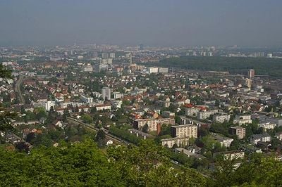
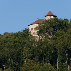
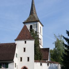
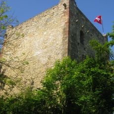
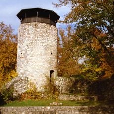
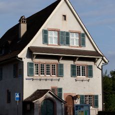
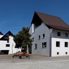
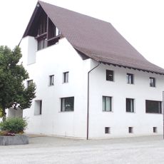
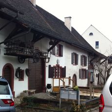
Muttenz is a small town in Switzerland located in the Arlesheim District, roughly ten kilometers from Basel. It features a well-preserved old town with narrow streets, clay tile roofs, and the fortified church of St. Arbogast, whose walls date back over 600 years.
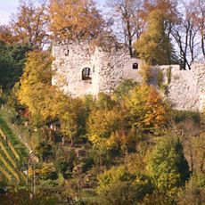
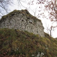
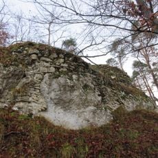
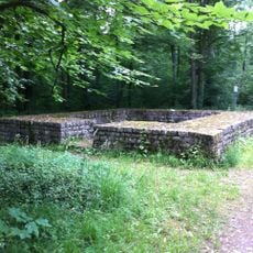
The settlement originated from the Roman site called Montetum and developed in the Middle Ages under noble and church rule. In the 16th century, it became part of Basel and experienced the effects of the Protestant Reformation, which transformed local religious life.
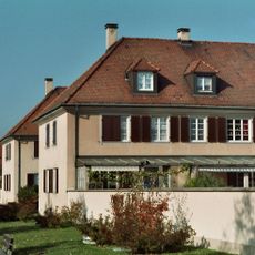
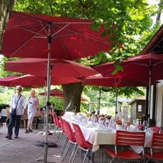
Residents speak Swiss German and maintain local customs passed down through generations. Regular festivals and markets bring the community together, showcasing regional food, crafts, and traditions that shape daily life.
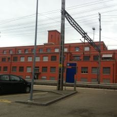
The town is easily accessible by train and bus from Basel, making it convenient for day trips. Its compact size allows you to explore the old center on foot, while marked walking and cycling paths provide access to the surrounding hills and forests.
St. Arbogast Church is one of the few examples of a fortified church in Switzerland, with walls that withstood attacks and still show their original structure today. This rare architecture was damaged by a 14th-century earthquake but was partially restored afterward.
The community of curious travelers
AroundUs brings together thousands of curated places, local tips, and hidden gems, enriched daily by 60,000 contributors worldwide.