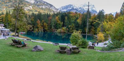
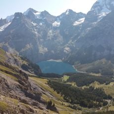
Blausee, Mountain lake in Mitholz, Switzerland.
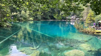
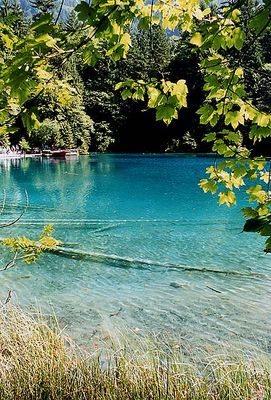
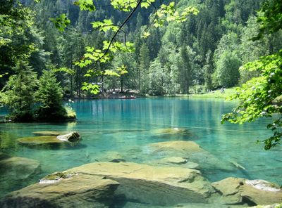
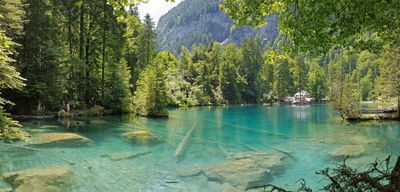
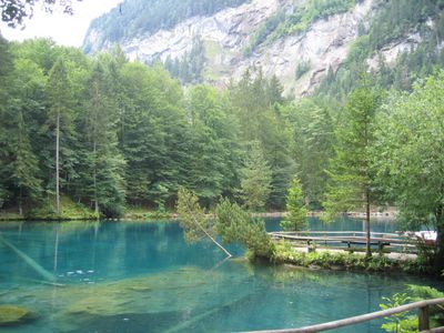
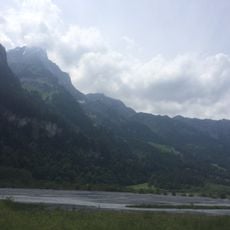
Blausee is a mountain lake in Switzerland with turquoise-blue water situated within a nature preserve of around 20 hectares in the Bernese Alps. The basin is surrounded by forest paths and sits at 887 meters elevation, where the clear water shows the geology of the alpine landscape.
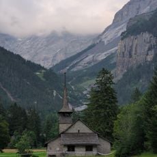
The body of water formed when a landslide from Fisistock pushed massive ice blocks from the Kandersteg Glacier into the valley below. This geological shift left a depression that gradually filled with water, creating the lake we see today.
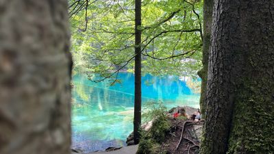
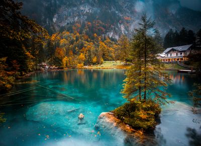
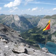
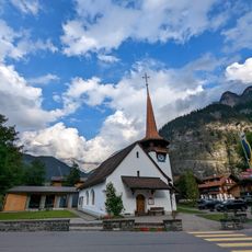
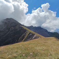
The lake serves as a gathering place for hikers and families exploring the forested surroundings, where visitors experience the mountain landscape as local people do. The setting draws those seeking connection with nature in a quiet mountain environment.
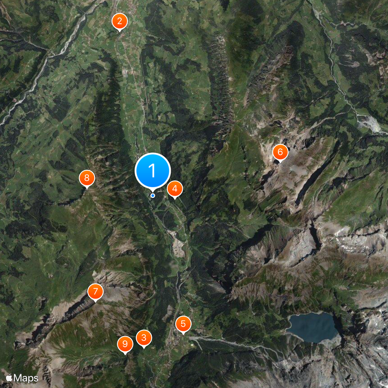
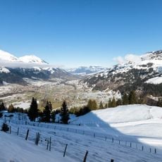
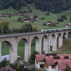
The site is easy to reach and offers walking paths suitable for different fitness levels around the water. Visitors should bring weather-appropriate clothing, as the mountain setting brings rapid weather changes.
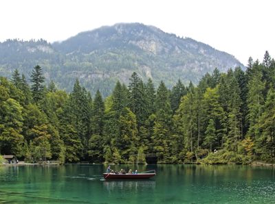
A special attraction is a glass-bottom boat ride that offers views into the underwater world below. The lake reaches depths of around 10 meters, revealing a hidden dimension that few visitors expect to see.
Location: Kandergrund
Elevation above the sea: 887 m
Address: Blausee, 3717 Kandergrund, Switzerland
GPS coordinates: 46.53250,7.66472
Latest update: December 14, 2025 20:44
Switzerland offers much more than its famous destinations. This collection features places where nature and history are discovered at a gentle pace, far from crowds. You will find mountain refuges perched on rocks like Berggasthaus Aescher-Wildkirchli, wild valleys where ibex and chamois live, like...
Tellenburg castle ruin
4.9 km
Dhammapala
4.4 km
Felsenburg
657 m
Church of Mary
4.1 km
Ärmighorn
3.9 km
First
3.5 km
Elsighorn
1.9 kmLuftseilbahn Kandersteg-Allmenalp
4.7 km
Kandersteg
4.2 kmHowang
3 km
Church building
4.3 km
Church building
4.1 km
Kander Viaduct
4.9 kmSattelhorn
3.1 kmSalzhorn
4.4 kmStand
2.5 kmBire
3.5 km
Former inn
4.8 km
Pedestrian bridge over the Kander river (1912)
3.2 kmSommerrodelbahn Oeschinensee
4.2 kmSommerrodelbahn Oeschinensee
4.1 kmKlettersteig Kandersteg-Allmenalp
4.7 kmHöh
3.5 kmScenic viewpoint
2.9 kmScenic viewpoint
3.2 kmScenic viewpoint
2.8 kmScenic viewpoint
1 kmAlmenbachfälle
4.6 kmVisited this place? Tap the stars to rate it and share your experience / photos with the community! Try now! You can cancel it anytime.
Discover hidden gems everywhere you go!
From secret cafés to breathtaking viewpoints, skip the crowded tourist spots and find places that match your style. Our app makes it easy with voice search, smart filtering, route optimization, and insider tips from travelers worldwide. Download now for the complete mobile experience.
A unique approach to discovering new places❞
— Le Figaro
All the places worth exploring❞
— France Info
A tailor-made excursion in just a few clicks❞
— 20 Minutes