
Iron age burial ground, archaeological site in Leukerbad in the canton of Valais, Switzerland
Location: Leukerbad
Part of: list of cultural properties in Leukerbad
GPS coordinates: 46.38241,7.62972
Latest update: March 2, 2025 22:02
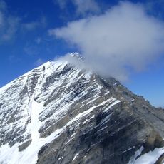
Balmhorn
6.8 km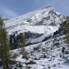
Altels
6.4 km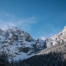
Daubenhorn
2.2 km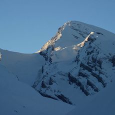
Rinderhorn
3.9 km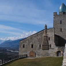
Leuk Castle
7.4 km
Pont des Gorges de la Dala
7.5 km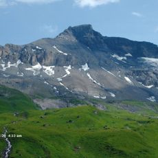
Steghorn
5.3 km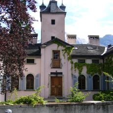
Zen-Ruffinen Castle
7.3 km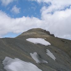
Torrenthorn
3.8 km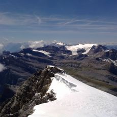
Wildstrubel Glacier
7.2 km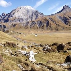
Tschingellochtighorn
7.6 km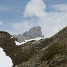
Trubelstock
4.6 km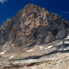
Ferdenrothorn
6.6 km
Schneehorn
5.8 km
Wysse See
4.3 km
Niwen
6.8 km
Majinghorn
4.6 km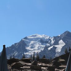
Balmhorngletscher
6.9 km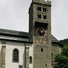
St. Stephan church
7.2 km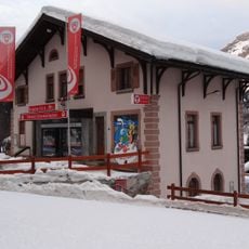
Schneesportschule Leukerbad
482 m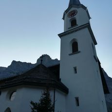
Maria Hilf church
337 m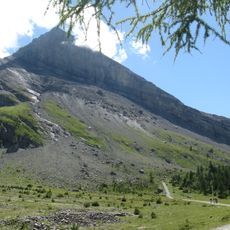
Chli Rinderhorn
4.9 km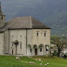
Ringacker chapel of the immaculate conception with hermitage
7.6 km
Dala tower
7.3 km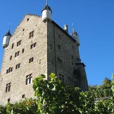
City hall
7.4 km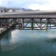
Bridge over the Rhone
7.8 km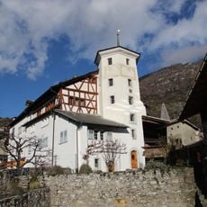
Major yard of Werra Galdinen
7.2 km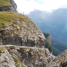
Gemmi Daubenwand
1.6 kmReviews
Visited this place? Tap the stars to rate it and share your experience / photos with the community! Try now! You can cancel it anytime.
Discover hidden gems everywhere you go!
From secret cafés to breathtaking viewpoints, skip the crowded tourist spots and find places that match your style. Our app makes it easy with voice search, smart filtering, route optimization, and insider tips from travelers worldwide. Download now for the complete mobile experience.

A unique approach to discovering new places❞
— Le Figaro
All the places worth exploring❞
— France Info
A tailor-made excursion in just a few clicks❞
— 20 Minutes