
Neolithische, bronzezeitliche und mittelalterliche Siedlung im Ortskern
Neolithische, bronzezeitliche und mittelalterliche Siedlung im Ortskern, archaeological site in Otelfingen, Switzerland
Location: Otelfingen
Location: Zürich
Address: Vorderdorfstrasse, Schmittengasse, u.A
GPS coordinates: 47.46079,8.38769
Latest update: June 4, 2025 10:24
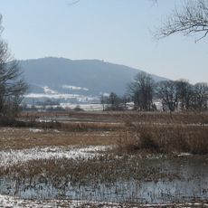
Lägern
2.4 km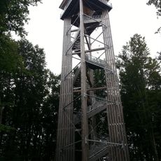
Altberg Observation Tower
3.1 km
Ruine Alt-Lägern
2.4 km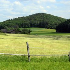
Altberg
3.9 km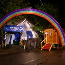
Zirkus Otelli
239 m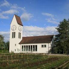
Reformierte Kirche Würenlos
2.4 km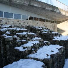
Roman manor with cryptoporticus
3.6 km
Sulperg
3.6 km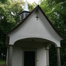
Sulzberg chapel
3.6 km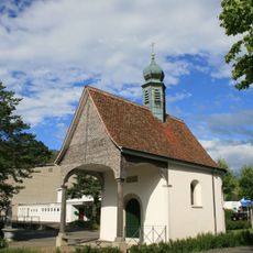
Chapel of the Cross
3.5 km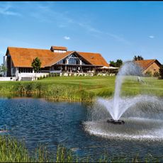
Golfpark Otelfingen
1.5 km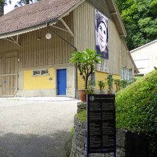
Emma Kunz center
2.7 km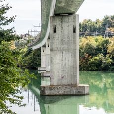
SBB-Brücke
4 km
Boppensol
2.4 km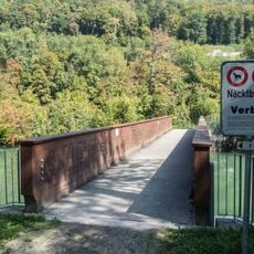
Limmatinsel-Brücke
3.2 km
Roman estate
3.6 km
Roman catholic rectory
2.6 km
Zythüsli
4.1 km
Mutschellenstrasse-Brücke
3.7 km
Würenlos-Brücke
3.7 km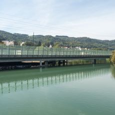
A1/A3 Autobahnbrücken
3.8 km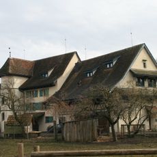
Former mill
1.6 km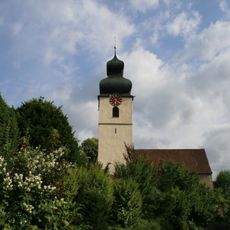
Roman catholic parish church with tower
2.7 km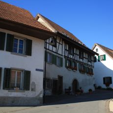
Vineyard house
1.9 km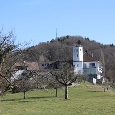
Bickguet
3 km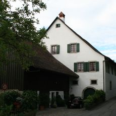
Old mill
2.7 km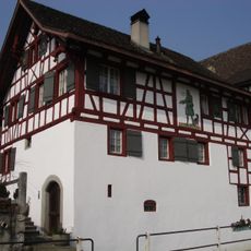
Herrenstube (ehemaliges Amthaus und Wirtschaft)
264 m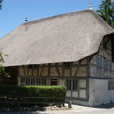
Strohdachhaus Hüttikon
1.7 kmReviews
Visited this place? Tap the stars to rate it and share your experience / photos with the community! Try now! You can cancel it anytime.
Discover hidden gems everywhere you go!
From secret cafés to breathtaking viewpoints, skip the crowded tourist spots and find places that match your style. Our app makes it easy with voice search, smart filtering, route optimization, and insider tips from travelers worldwide. Download now for the complete mobile experience.

A unique approach to discovering new places❞
— Le Figaro
All the places worth exploring❞
— France Info
A tailor-made excursion in just a few clicks❞
— 20 Minutes