Erding, Administrative district in Bavaria, Germany.
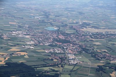
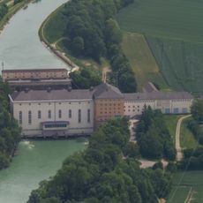
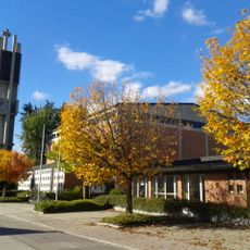
Erding is an administrative district in Bavaria located northeast of Munich, covering fields, river valleys and scattered villages across 870 square kilometers. The area lies between the Bavarian capital and rural Upper Bavaria, combining open farmland with smaller settlements and waterways that feed into the Isar system.
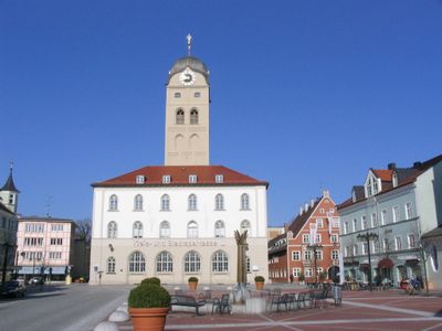
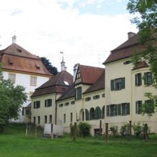
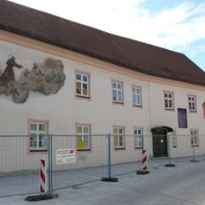
A castle was built on the Sempt river in 1230 to guard the trade route linking Munich and Landshut. This fortification became the foundation for the later development of the region as a separate administrative unit in Upper Bavaria.
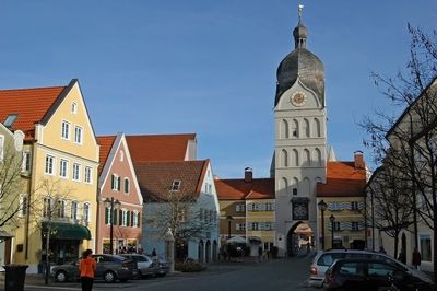
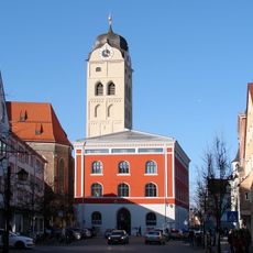
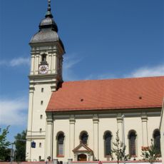
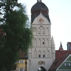
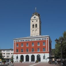
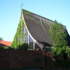
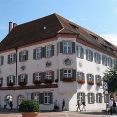
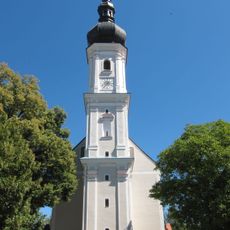
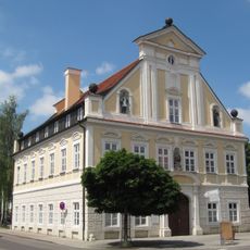
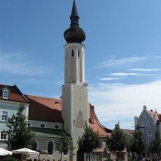
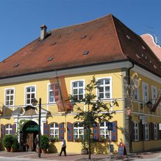
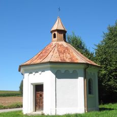
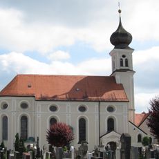
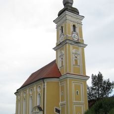
The name comes from the town of Erding, located along the Sempt river and surrounded by farming communities that shape the local identity. Visitors can spot the coat of arms featuring Bavarian diamonds and a horse motif on municipal buildings and at town entrances throughout the area.
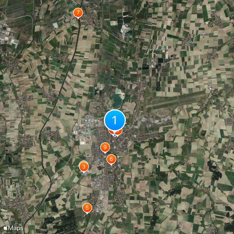
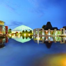
The S-Bahn rail system links the district to Munich's public transport network, providing direct connections to the city center and surrounding communities. Munich Airport sits in the northwest corner and remains accessible from most locations within the region in under an hour.
The Erdinger Moos was once a large wetland in the northwest, partially drained in the early 1990s to make way for airport construction. Today only scattered patches of the original fen landscape remain, marking the former reach of this ecosystem.
The community of curious travelers
AroundUs brings together thousands of curated places, local tips, and hidden gems, enriched daily by 60,000 contributors worldwide.