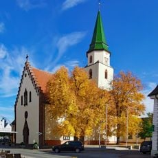
Baar, Plateau region in southwestern Germany
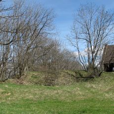
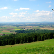
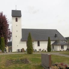
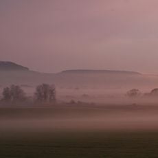
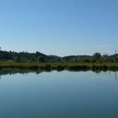
The Baar plateau stretches between 600 and 900 meters (2,000 and 3,000 feet) in elevation, bordered by the Black Forest to the west and the Swabian Alb to the east. The region displays rolling fields, meadows, and forest patches that create a distinctive patchwork landscape.
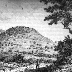
The plateau formed during the Jurassic period through geological processes that created its current elevation and features. Human settlement and land use later shaped how the region developed.
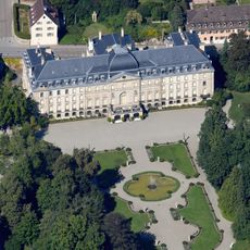
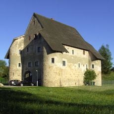
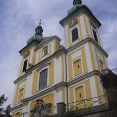
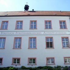
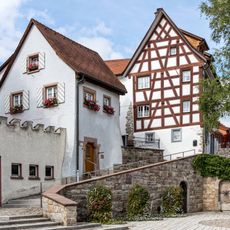
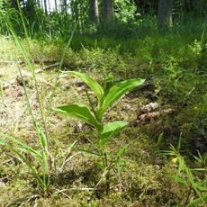
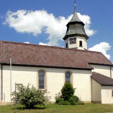
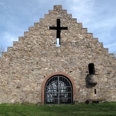
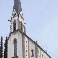
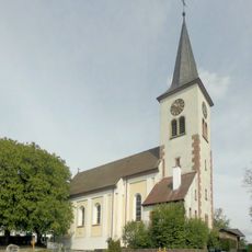
The region shows strong connections to German traditions of livestock farming and forestry, adapted to the special conditions of this highland plateau. Visitors can see traditional farms and forest areas that shape the landscape.
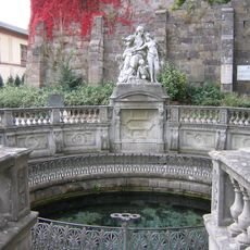
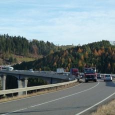
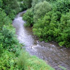
The plateau holds the sources of two major German rivers: the Neckar near Villingen-Schwenningen and the Danube in the Brigach and Breg tributaries. Visitors can explore the landscape by car, bicycle, or on foot depending on their interests and how far they wish to travel.
Donaueschingen in this area records the earliest frost dates in Germany, typically starting from September 20 because cold air gets trapped in a basin. This extreme cold makes growing certain crops particularly difficult.
The community of curious travelers
AroundUs brings together thousands of curated places, local tips, and hidden gems, enriched daily by 60,000 contributors worldwide.