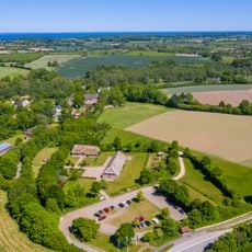
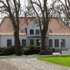
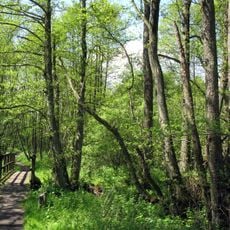
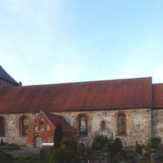
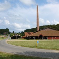
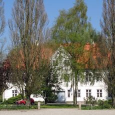
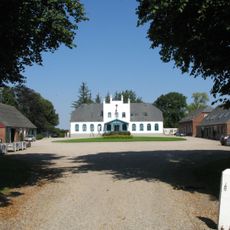
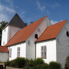
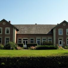
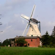
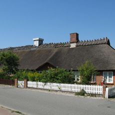
Westerholz, municipality of Germany
Location: Schleswig-Flensburg
Elevation above the sea: 13 m
Shares border with: Dollerup, Steinbergkirche
Website: http://langballig.de/index.phtml?sNavID=137.25
GPS coordinates: 54.81640,9.67200
Latest update: March 12, 2025 09:51
Scheersberg
6.9 km
Küstenbereiche Flensburger Förde von Flensburg bis Geltinger Birk
2.4 km
Bismarckturm
6.9 km
Landschaftsmuseum Angeln
2.7 km
Gut Freienwillen
2.4 km
Tal der Langballigau
907 m
St.Mary's church
4.9 km
Cathrinesminde Brickworks
6.8 km
Gut Lundsgaard
4.4 km
Philipsthal
5.8 km
Neukirchen Church
4.9 km
Höftland Bockholmwik und angrenzende Steilküsten
3.5 km
Balm
6.2 km
Langballigau
597 m
Großsteingrab Siegum
3.3 km
Großsteingrab Bockholm
5.8 km
Großsteingrab Philippstal
6.2 km
Skelde Langdysse
5.4 km
Wohnhaus
5.1 km
Skelde Kobbel Dysse
6.8 km
Windmühle Hoffnung
6.1 km
Bohlenscheune
5.2 km
Skelde Voldsted
5.3 km
Windmühle Fortuna, Langballig
2.8 km
Skelde Kobbel Langdysse I
6.7 km
Skelde Kobbel dyssekammer
6.7 km
Skelde Kobbel Langdysse II
6.7 km
Poststraße 4 - 4a
5 kmReviews
Visited this place? Tap the stars to rate it and share your experience / photos with the community! Try now! You can cancel it anytime.
Discover hidden gems everywhere you go!
From secret cafés to breathtaking viewpoints, skip the crowded tourist spots and find places that match your style. Our app makes it easy with voice search, smart filtering, route optimization, and insider tips from travelers worldwide. Download now for the complete mobile experience.
A unique approach to discovering new places❞
— Le Figaro
All the places worth exploring❞
— France Info
A tailor-made excursion in just a few clicks❞
— 20 Minutes