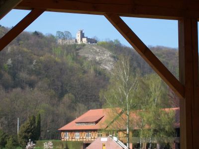
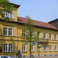
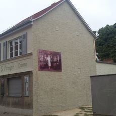
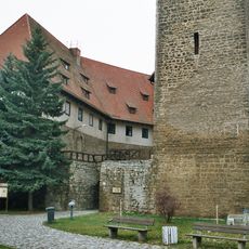
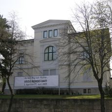
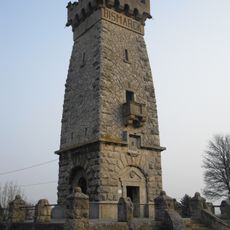
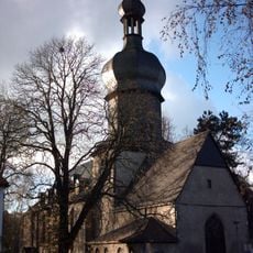
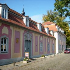
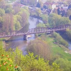
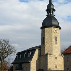
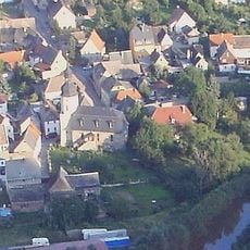
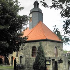
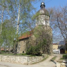
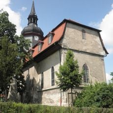
Bad Sulza, human settlement in Germany
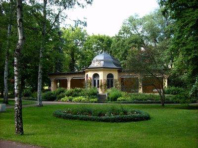
Bad Sulza is a designated spa town in the Weimarer Land district of Thuringia, built around natural salt springs. The town features spa facilities and wellness services centered on the therapeutic properties of its mineral waters.
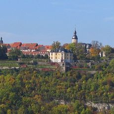
The settlement grew from a small village when the healing properties of its salt springs were discovered and developed in the 19th century. This discovery led to the establishment of the modern spa town and the expansion of facilities for visitors.
The spa center is easily accessible with parking available and paths suitable for different mobility levels. The site is accessible year-round, with facilities operating throughout all seasons for comfortable visits.
The community of curious travelers
AroundUs brings together thousands of curated places, local tips, and hidden gems, enriched daily by 60,000 contributors worldwide.