
Milower Land, municipality in Brandenburg state, Germany
Location: Havelland District
Elevation above the sea: 30 m
Address: Friedensstraße 86 , 14715 Milower Land 14715
Website: https://milow.de
GPS coordinates: 52.51942,12.31122
Latest update: March 6, 2025 14:19
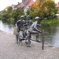
Schleusenspucker Rathenow
9.8 km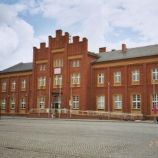
Rathenow railway station
9.4 km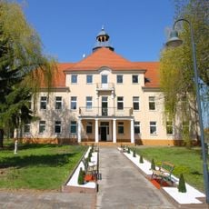
Schloss Schlagenthin
6.4 km
Rathenower Verblendsteinwerk C. G. Matthes & Sohn
8.2 km
St. Marien und Andreas
9.8 km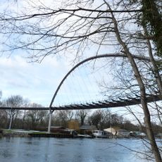
Weinbergbrücke Rathenow
9.4 km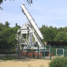
Rathenower Refraktor
10.3 km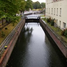
Stadtschleuse Rathenow
9.9 km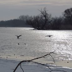
Untere Havel Süd
8 km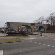
Steinbogenbrücke Premnitz
2.3 km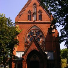
St. Georg (Rathenow)
10 km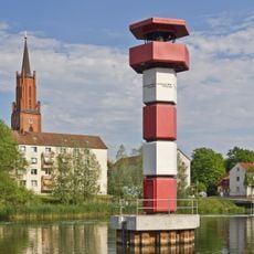
Rathenow lighthouse
9.9 km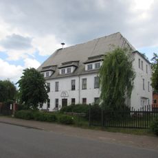
Möthlitzer Schloss
7.2 km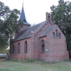
Protestant Church
11.6 km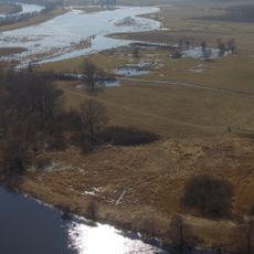
Burgwall „Alt Rathenow“
7.9 km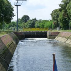
Hauptschleuse Rathenow
9.4 km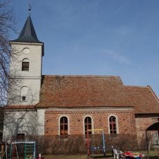
Village church Bützer
1.9 km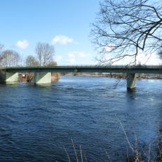
Milower Brücke
805 m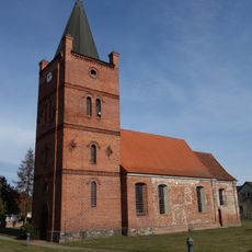
Village church Zollchow (Havelland)
7 km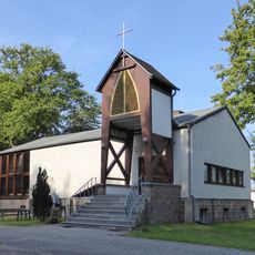
St. Josef (Steckelsdorf)
8.7 km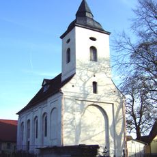
Dorfkirche Altenklitsche
8.3 km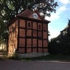
Dorfkirche Schlagenthin
6.5 km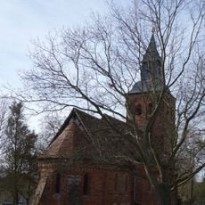
Village church Schmetzdorf
9.8 km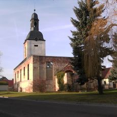
Kirchenruine Zabakuck
9.7 km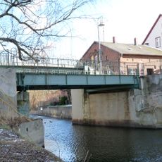
Jederitzer Brücke
10.2 km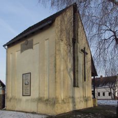
Dorfkirche Bahnitz
6.9 km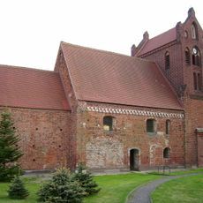
Dorfkirche Neuenklitsche
6.8 km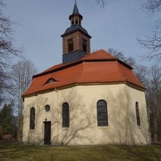
Church in Großwudicke
9.9 kmVisited this place? Tap the stars to rate it and share your experience / photos with the community! Try now! You can cancel it anytime.
Discover hidden gems everywhere you go!
From secret cafés to breathtaking viewpoints, skip the crowded tourist spots and find places that match your style. Our app makes it easy with voice search, smart filtering, route optimization, and insider tips from travelers worldwide. Download now for the complete mobile experience.

A unique approach to discovering new places❞
— Le Figaro
All the places worth exploring❞
— France Info
A tailor-made excursion in just a few clicks❞
— 20 Minutes