Enable Location

We need your location to show you interesting places around you

Discover nearby places

Find interesting locations and hidden gems around you

Precise directions

Get accurate directions and distances to places

Your location is never shared with other users. It's only used when you tap the location button.

Havelland District

Log in to your account

Start exploring — it's free

Trusted by 61,451 travelers worldwide

Continue with Google
Continue with Apple
or

We will send you a code to connect

By continuing, you accept our Terms and Conditions and our Privacy Policy

Check your inbox

We've sent a pincode in your inbox. Please enter the code below.

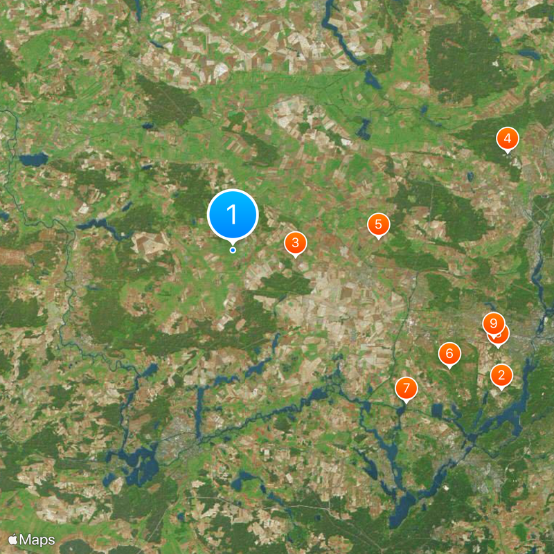
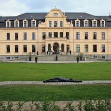
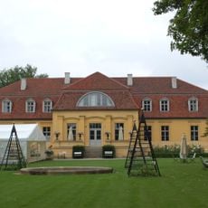
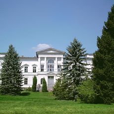
Havelland District, Administrative district in Brandenburg, Germany

Description

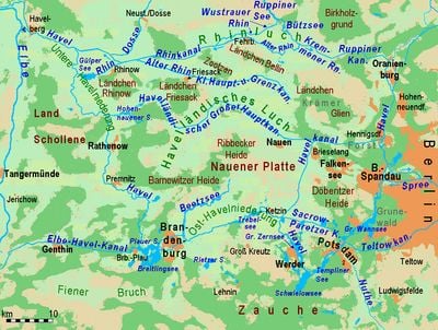
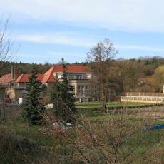
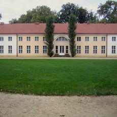
Havelland is an administrative district in Brandenburg that stretches along the Havel River in a U-shaped curve between Berlin and where the Elbe meets another river. It comprises several towns and municipalities that together form a countryside region with river landscapes and natural areas.

History

The district was created in 1993 when two former districts, Nauen and Rathenow, merged into one. This reorganization was part of larger administrative changes in Brandenburg following German reunification.

Culture

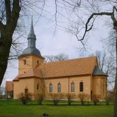
The region appears in German literature through Theodor Fontane's works, which explore the landscape and its people. These literary connections have shaped the area's identity and give it a distinctive story in the wider culture.

Practical

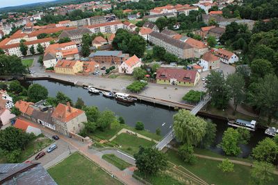
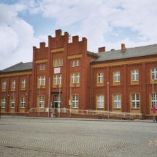
The area is best explored by car or local buses, which connect the various towns and villages. Rathenow, the district capital, serves as a good starting point to visit the surrounding communities and natural areas.

Did you know?

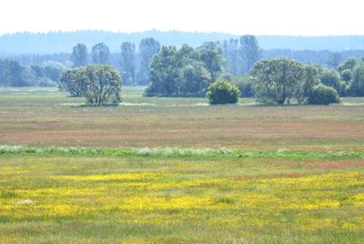
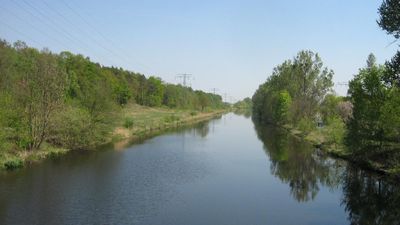
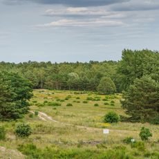
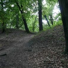
The West Havelland Nature Park holds one of Western Europe's largest inland wetlands, shaped by glacial deposits from the Ice Age. An extensive network of canals runs through the area, allowing visitors to explore it by boat or on foot.

Location
Inception
1993
Capital city
Rathenow
Elevation above the sea
32 m
Shares border with
Berlin, Potsdam-Mittelmark District, Oberhavel District, Ostprignitz-Ruppin District, Brandenburg an der Havel, Stendal District, Jerichower Land, Potsdam
GPS coordinates
52.63333,12.63333
Latest update
December 17, 2025 07:57

AroundUs brings together thousands of curated places, local tips, and hidden gems, enriched daily by 60,000 contributors worldwide. Discover all places nearby (Brandenburg).

« Havelland District - Administrative district in Brandenburg, Germany » is provided by Around Us (aroundus.com). Images and texts are derived from Wikimedia project under a Creative Commons license. You are allowed to copy, distribute, and modify copies of this page, under the conditions set by the license, as long as this note is clearly visible.

Discover hidden gems everywhere you go!

From secret cafés to breathtaking viewpoints, skip the crowded tourist spots and find places that match your style. Our app makes it easy with voice search, smart filtering, route optimization, and insider tips from travelers worldwide. Download now for the complete mobile experience.

Around Us App Screenshot

A unique approach to discovering new places

Le Figaro

All the places worth exploring

France Info

A tailor-made excursion in just a few clicks

20 Minutes

Around Us
Travel Guide & Maps
Download

Send to your phone

QR Code
1

Open the camera app on your mobile.

2

Point at the QR code with your camera. A notification will appear.

3

Tap the notification to open the link.