Enable Location

We need your location to show you interesting places around you

Discover nearby places

Find interesting locations and hidden gems around you

Precise directions

Get accurate directions and distances to places

Your location is never shared with other users. It's only used when you tap the location button.

Ruppichteroth

Log in to your account

Start exploring — it's free

Trusted by 62,855 travelers worldwide

Continue with Google
Continue with Apple
or

We will send you a code to connect

By continuing, you accept our Terms and Conditions and our Privacy Policy

Check your inbox

We've sent a pincode in your inbox. Please enter the code below.

Ruppichteroth, Municipality in Rhein-Sieg-Kreis, North Rhine-Westphalia, Germany

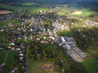
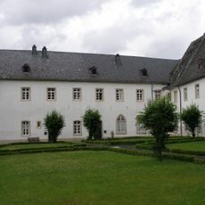
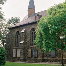
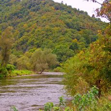
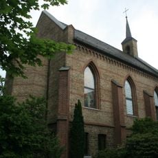
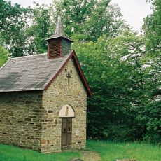
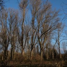
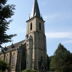
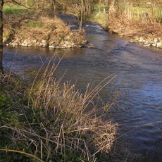
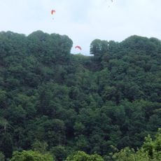
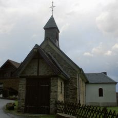
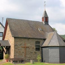
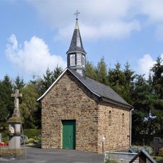
Ruppichteroth is a municipality in the North Rhine-Westphalian Bergisches Land region, spread across grassy hills, dense forests, and open countryside. The area consists of several smaller settlements connected by quiet country roads and green valleys.

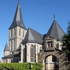
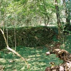
The area first appeared in written records in 843 and was part of the Auelgau region before becoming integrated into the broader Bergisches Land. Economic growth from mining in the 1800s led to the construction of a railway line to transport extracted materials.

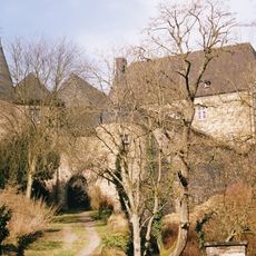
The name comes from a medieval noble called Ruppert, whose memory remains woven into the local identity. People here maintain this historical connection through their daily customs and community life across the various village centers.

The area is accessible via the B478 federal road and connects to several highway junctions in the wider region. Visitors should plan to arrive by car, as public transportation options become limited in the more rural areas.

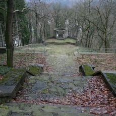
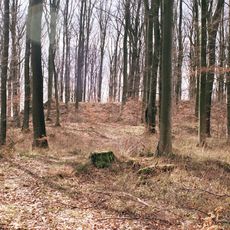
The railway line built for ore transport left lasting marks across the landscape and still shapes the character of certain settlements. Many visitors overlook how this historical transport route remains visibly woven into the area's geography.

The community of curious travelers

AroundUs brings together thousands of curated places, local tips, and hidden gems, enriched daily by 60,000 contributors worldwide.

Start exploring
Elevation above the sea
180 m
GPS coordinates
50.84556,7.48806
Latest update
December 20, 2025 15:52
« Ruppichteroth - Municipality in Rhein-Sieg-Kreis, North Rhine-Westphalia, Germany » is provided by Around Us (aroundus.com). Images and texts are derived from Wikimedia project under a Creative Commons license. You are allowed to copy, distribute, and modify copies of this page, under the conditions set by the license, as long as this note is clearly visible.

Discover hidden gems everywhere you go!

From secret cafés to breathtaking viewpoints, skip the crowded tourist spots and find places that match your style. Our app makes it easy with voice search, smart filtering, route optimization, and insider tips from travelers worldwide. Download now for the complete mobile experience.

Around Us App Screenshot

A unique approach to discovering new places

Le Figaro

All the places worth exploring

France Info

A tailor-made excursion in just a few clicks

20 Minutes

Around Us
Travel Guide & Maps
Download

Send to your phone

QR Code
1

Open the camera app on your mobile.

2

Point at the QR code with your camera. A notification will appear.

3

Tap the notification to open the link.