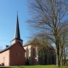
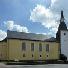
Much, Non-urban municipality in Rhein-Sieg District, Germany.
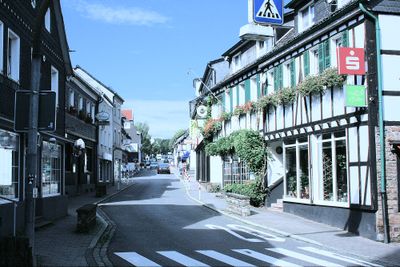
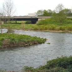
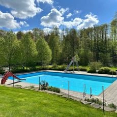
Much is a non-urban municipality in the Rhein-Sieg District, situated in a landscape shaped by valleys and hills formed by the Sieg River. The settlement lies at around 236 meters elevation and is surrounded by forests and green meadows that connect to protected natural areas.
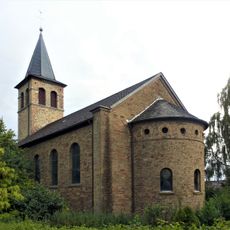
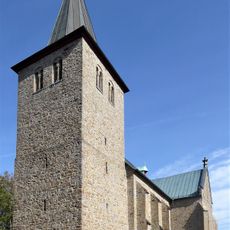
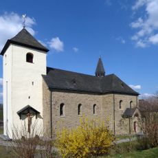
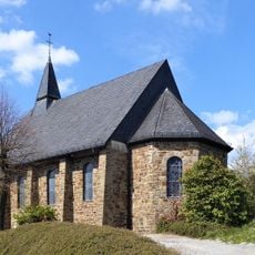
Much became part of the Rhein-Sieg District in 1969 when smaller administrative areas merged into a larger regional entity. The municipality lies in a region with long settlement history that traces back through medieval times to Roman periods along the Rhine valley.
The municipality maintains strong connections with neighboring communities through regular district council meetings, where 86 elected members gather to discuss regional matters.
Much is well served by rail connections and lies near larger cities like Bonn and Cologne, making day trips straightforward. The area is good for hiking through surrounding forests and exploring nature along the Sieg valley and its trails.
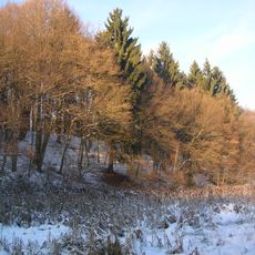
The area around Much contains Großer Ölberg, which at 461 meters stands as the highest peak in the entire Rhein-Sieg District. From this summit on clear days, visitors can see far across the landscape and over the surrounding valleys and woodlands.
The community of curious travelers
AroundUs brings together thousands of curated places, local tips, and hidden gems, enriched daily by 60,000 contributors worldwide.