Ehningen, Administrative division in Baden-Württemberg, Germany.
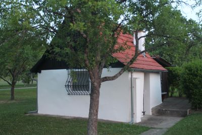
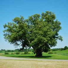
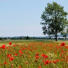
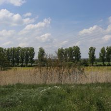
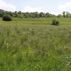
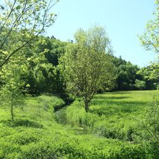
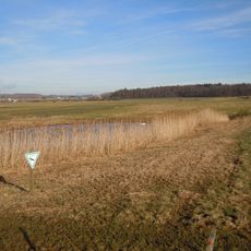
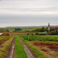
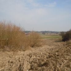
Ehningen is a town in Baden-Württemberg that extends across a considerable area shaped by the Würm river flowing through its center. The location sits at an elevation of around 450 meters and combines rural character with modern infrastructure.
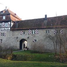
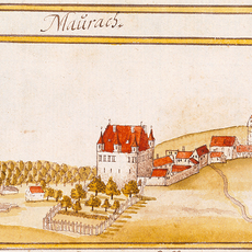
The area first appeared in written records in 1185 when a knight established a lordly settlement nearby. This early documentation shows how the region developed as a stable rural settlement over the following centuries.
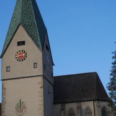
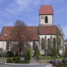
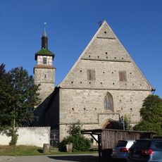
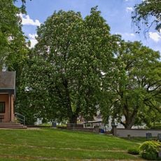
The Protestant Marienkirche from the 15th century and the Catholic St. Elizabeth church from the 1950s shape the town's character and show its religious diversity. Both buildings serve as gathering places for the community and reflect how the population has changed over time.
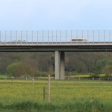
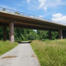
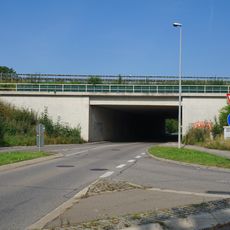
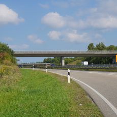
The town is well connected via Bundesautobahn 81 and the Stuttgart-Horb railway line, providing easy access to surrounding regions. Visitors benefit from learning the local roads to navigate the village structure and locate main points of interest.
Archaeological discoveries such as flint tools from the Neolithic period and burial mounds from the Bronze Age reveal that people lived in this area long before the Middle Ages. These findings demonstrate a settlement history that extends far into prehistoric times.
Website: https://ehningen.de
GPS coordinates: 48.65926,8.94051
Latest update: December 7, 2025 19:24
Schloss Ehningen
362 m
Schloss Mauren
3 km
Nikomedes Church
4.2 km
Linde bei Hildrizhausen
3.5 km
Böblingen
3.1 km
Krebsbachaue
1.9 km
Würmtal-Autobahnbrücke Ehningen
1.4 km
Marienkirche Ehningen
66 m
Schönbuchrand unter den Rohrauer Köpfen
3.7 km
Maurener Täle südwestlich Böblingen
3.7 km
Geländeteile westlich und nördlich der Ketterlenshalde (Füllesbrunnen, beim Kaiserbusch und Birkensee) (3 Teilegebiete)
2.3 km
Feuchtbiotop Sulz
3.3 km
Halbtrockenrasen Zistenäcker
3.2 km
Würmtal zwischen Aidlingen und Ehningen mit angrenzendem Gelände
1.6 km
Marienkirche Mauren
3 km
Feuchtbiotop Jennissen
2.5 km
Linde u. Kastanie am Friedhof
3.8 km
Oberes Würmtal nördlich Hildrizhausen samt dem Talbecken um Mauren zwischen Holzgerlingen und Ehningen
3.3 km
Friedenlinde am Aidlinger Weg
3.4 km
Eiche am Wasenberg
3.8 km
Feuchtbiotop Maurener See mit Eiche
3.2 km
Feuchtbiotop Heusulz
3.1 km
Jahn-Eiche
3.6 km
Feuchtbiotop Quintsestal
3.3 km
Feuchtbiotop Birkensee
1.5 km
Bridge of B464 over the Glemsbach
3.7 km
Brücke Bundesautobahn 81 über die Schickardstraße Böblingen
3.1 km
Brücke über B464 bei der Dornierstraße Dagersheim
3.6 kmVisited this place? Tap the stars to rate it and share your experience / photos with the community! Try now! You can cancel it anytime.
Discover hidden gems everywhere you go!
From secret cafés to breathtaking viewpoints, skip the crowded tourist spots and find places that match your style. Our app makes it easy with voice search, smart filtering, route optimization, and insider tips from travelers worldwide. Download now for the complete mobile experience.
A unique approach to discovering new places❞
— Le Figaro
All the places worth exploring❞
— France Info
A tailor-made excursion in just a few clicks❞
— 20 Minutes