Elze, municipality of Germany
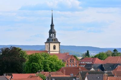
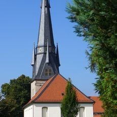
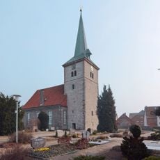
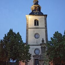
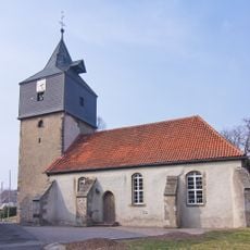
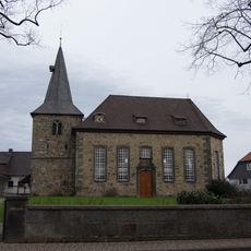
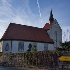
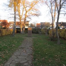
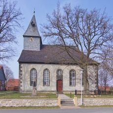
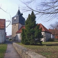
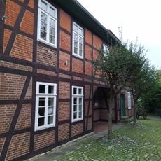
Elze is a small town in the Hildesheim region characterized by traditional brick and timber buildings that line its quiet streets. The town center features the Church of Peter and Paul, with historic merchant houses and green spaces creating a low-key streetscape.
The town grew from a medieval settlement with roots as a trading post, a heritage still visible in its historic merchant houses. The construction of the railway station in the 19th century transformed it into a quiet residential center connected to the wider region.
The town reflects traditions rooted in its mercantile past and continues to be shaped by local craftsmanship and seasonal gatherings. Community events in the town square bring neighbors together to share food, music, and locally made goods that define daily life here.
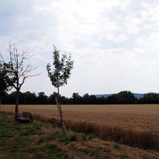
The railway station connects to Hildesheim, Hannover, and Göttingen, making arrival and travel convenient for visitors. Well-maintained cycling routes including the Leine-Heide Path run through the area, and accommodations along with a public swimming pool in summer are available.
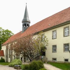
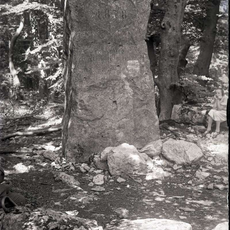
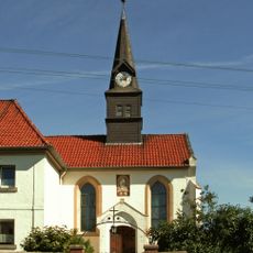
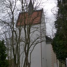
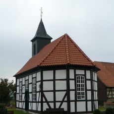
The Wittenburg Monastery sits just a few kilometers northwest, housing a Late Gothic church that is the last remnant of a medieval fortress once occupying the same location. This overlooked site illustrates how religious buildings often arose from earlier fortifications.
The community of curious travelers
AroundUs brings together thousands of curated places, local tips, and hidden gems, enriched daily by 60,000 contributors worldwide.