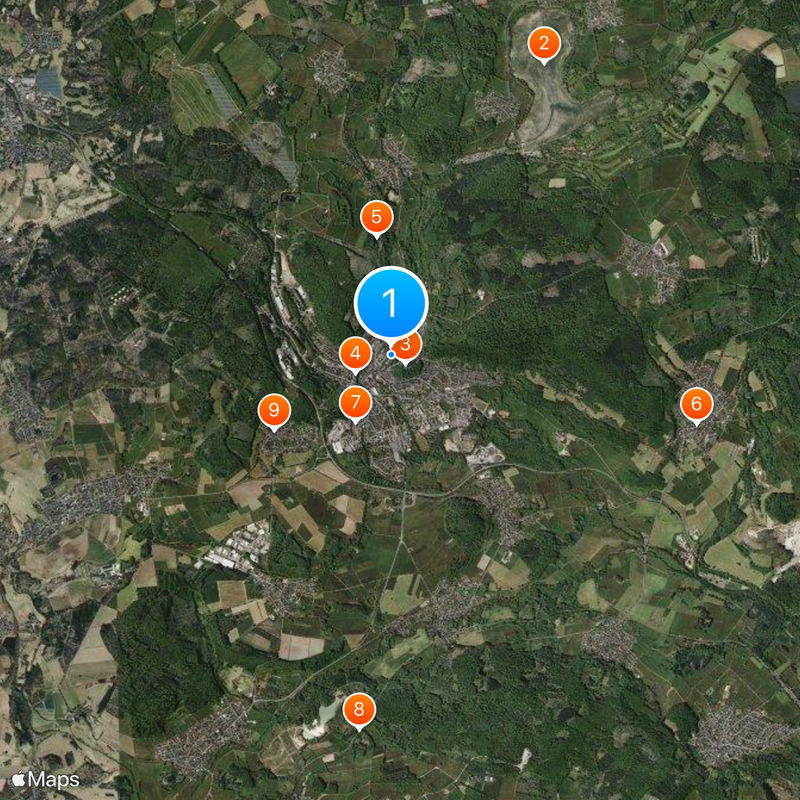
Westerburg, municipality of Westerwaldkreis, Germany
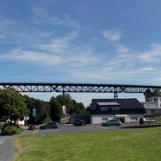
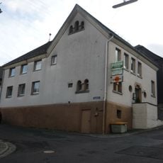
Westerburg is a small town in the Westerwald hills, in the Westerwaldkreis district of Rhineland-Palatinate. It has a historic town center and several outlying districts spread across the surrounding hilly countryside.
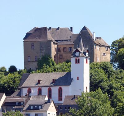
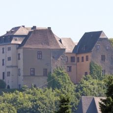
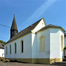
Westerburg grew up around a medieval castle that gave the town its name. Over the following centuries it developed into a local administrative center for the surrounding region.
The market square serves as the social hub where residents gather and local markets take place regularly. Here you can observe how daily community life unfolds and how public spaces connect people together.
The town center is easy to walk around, with most shops and eating places within a short distance of each other. Driving through the surrounding hills requires some care, as the roads wind through the landscape.
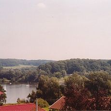
Westerburg sits on one of the higher points of the Westerwald plateau, giving much of the town open views over the surrounding hills. The castle that towers over the old center is still standing today and remains a visible reference point from many parts of town.
The community of curious travelers
AroundUs brings together thousands of curated places, local tips, and hidden gems, enriched daily by 60,000 contributors worldwide.