Enable Location

We need your location to show you interesting places around you

Discover nearby places

Find interesting locations and hidden gems around you

Precise directions

Get accurate directions and distances to places

Your location is never shared with other users. It's only used when you tap the location button.

Klingenberg

Log in to your account

Start exploring — it's free

Trusted by 61,460 travelers worldwide

Continue with Google
Continue with Apple
or

We will send you a code to connect

By continuing, you accept our Terms and Conditions and our Privacy Policy

Check your inbox

We've sent a pincode in your inbox. Please enter the code below.

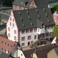
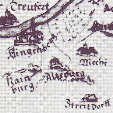
Klingenberg, Municipality on Main River, Bavaria, Germany

Description

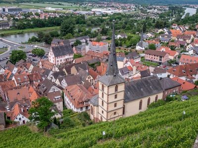
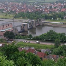
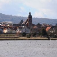
Klingenberg am Main is a municipality that spreads across both banks of the Main River, nestled between the Spessart and Odenwald mountain ranges. The town comprises three connected settlement areas that together form a single administrative region.

History

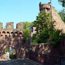
The Romans built fortifications along the Main to secure their territorial boundaries, showing this area's strategic importance in ancient times. Later, the region developed into a center for wine production, which shaped the local economy for many generations.

Culture

Wine production has shaped daily life here for hundreds of years, and you can see vineyards covering the hillsides throughout the area. The local attachment to this tradition remains visible in how the landscape is organized and maintained.

Practical

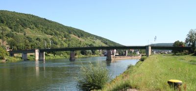
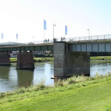
The town connects to major roads via Bundesstrasse 469 and has a railway station on the Main Valley line for regional connections. Visitors can reach it easily by train or car, making it a convenient stop for exploring the wider region.

Did you know?

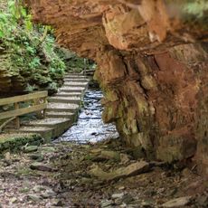
Clay mining shaped the area's development for decades and left permanent marks on the landscape. If you look carefully, you can still spot traces of these mining activities in the surrounding terrain.

Elevation above the sea
126 m
Shares border with
Mechenhard, Mönchberg, Schmachtenberg, Röllfeld, Trennfurt, Wörth am Main, Erlenbach
GPS coordinates
49.78241,9.18278
Latest update
December 20, 2025 12:56

AroundUs brings together thousands of curated places, local tips, and hidden gems, enriched daily by 60,000 contributors worldwide. Discover all places nearby (Klingenberg am Main).

Administrative divisions
« Klingenberg - Municipality on Main River, Bavaria, Germany » is provided by Around Us (aroundus.com). Images and texts are derived from Wikimedia project under a Creative Commons license. You are allowed to copy, distribute, and modify copies of this page, under the conditions set by the license, as long as this note is clearly visible.

Discover hidden gems everywhere you go!

From secret cafés to breathtaking viewpoints, skip the crowded tourist spots and find places that match your style. Our app makes it easy with voice search, smart filtering, route optimization, and insider tips from travelers worldwide. Download now for the complete mobile experience.

Around Us App Screenshot

A unique approach to discovering new places

Le Figaro

All the places worth exploring

France Info

A tailor-made excursion in just a few clicks

20 Minutes

Around Us
Travel Guide & Maps
Download

Send to your phone

QR Code
1

Open the camera app on your mobile.

2

Point at the QR code with your camera. A notification will appear.

3

Tap the notification to open the link.