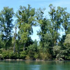
Rheinstetten, municipality in Germany
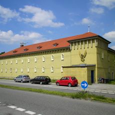
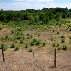
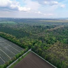
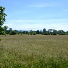
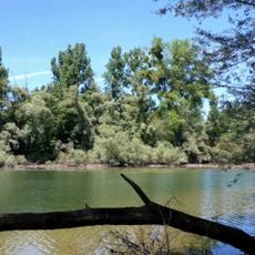
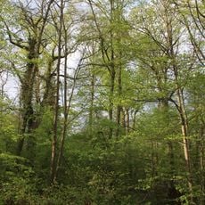
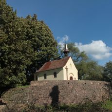
Rheinstetten is a town in Baden-Württemberg made up of three districts merged together: Forchheim, Mörsch, and Neuburgweier. It sits on flat land along the Rhine and contains half-timbered houses, small shops, schools, and churches like the Gothic St. Ursula Chapel in Neuburgweier that shape its character.
The districts of Forchheim and Mörsch first appear in documents from the 10th century, while Neuburgweier was recorded in 1219. The three communities merged into one town in 1975 and gained official city status in 2000 after centuries as independent villages.
The name comes from its location along the Rhine river, with each district preserving its own identity and heritage. Local residents value the traditional half-timbered houses and historic churches that define the streets and reinforce the sense of community bonds among neighbors.
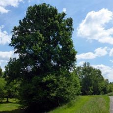
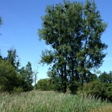
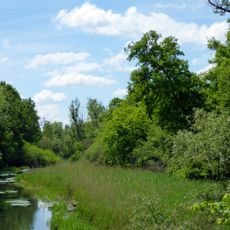
The train station provides good connections to larger cities like Karlsruhe making travel by bus and train straightforward. The flat terrain and extensive bike paths along the Rhine make it easy to get around by bicycle or explore the surrounding area.
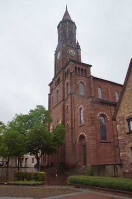
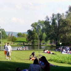
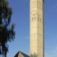
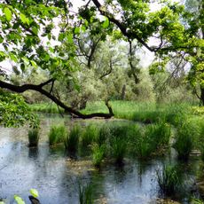
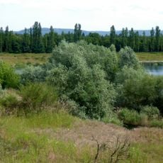
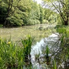
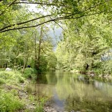
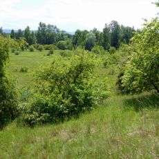
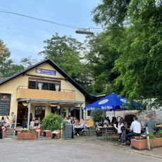
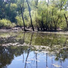
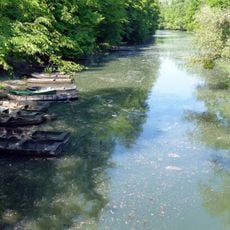
The St. Martin Church in Forchheim was built in 1857 with its windows and facade designed by a notable artist. Nearby Epplesee offers swimming and a beer garden in summer, while the quieter Fermasee invites peaceful walks.
The community of curious travelers
AroundUs brings together thousands of curated places, local tips, and hidden gems, enriched daily by 60,000 contributors worldwide.