
Konnersreuth, market municipality of Germany
Location: Tirschenreuth
Elevation above the sea: 573 m
Shares border with: Mitterteich, Pechbrunn, Waldsassen
Website: http://konnersreuth.de
GPS coordinates: 50.01667,12.23333
Latest update: March 7, 2025 06:01
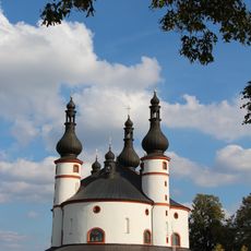
Dreifaltigkeitskirche Kappl
3.4 km
Kloster Fockenfeld
2 km
Kohlberg
4.4 km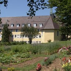
Theresianum
1.1 km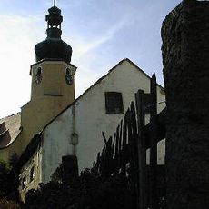
St. Emmeram
4.2 km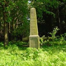
Lindenberg
3.9 km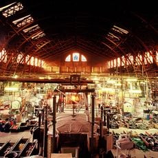
Ofenhalle
5.1 km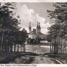
Münchenreuther Wald
4.2 km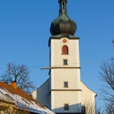
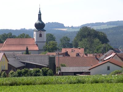
St. Laurentius
760 m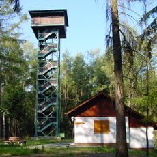
Waldenfelswarte
4.3 km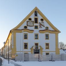
Ehemaliges Kastenamtsgebäude mit Pfarrkirche
5.4 km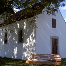
Kapelle heiliger Florian Kondrau
4.8 km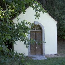
Steinmühlkapelle
5.8 km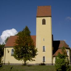
St. Joseph
5.4 km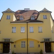
Industriellenvilla Mitterteicher Straße 31 Waldsassen
4.9 km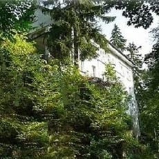
Villa
5.3 km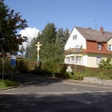
Blechkruzifix und Steinkreuz Mitterteicher Straße 38 Waldsassen
4.9 km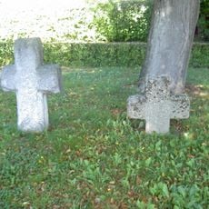
Zwei Steinkreuze Kondrau
4.8 km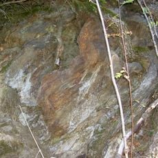
Gneisaufschluss S von Steinmühle
5.9 km
Geburtshaus der Therese Neumann in Konnersreuth
787 m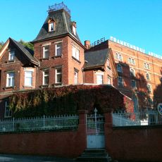
Brauerei
4.9 km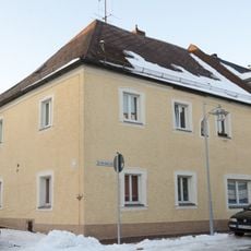
Eckgebäude mit Walmdach
5.5 km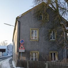
Dreiseithof, sogenannter Schafferhof
837 m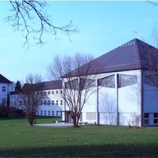
Ehemaliges Schloss und Sommersitz der Waldsassener Äbte, seit 1951 Salesianum
2 km
Hausfigur
5.4 km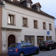
Ehemaliges Haus des stiftländischen Amtshauptmanns
5.4 km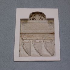
Gedenkstein
5.5 km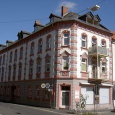
Mietshaus Pötzlstraße 2 Waldsassen
5.3 kmVisited this place? Tap the stars to rate it and share your experience / photos with the community! Try now! You can cancel it anytime.
Discover hidden gems everywhere you go!
From secret cafés to breathtaking viewpoints, skip the crowded tourist spots and find places that match your style. Our app makes it easy with voice search, smart filtering, route optimization, and insider tips from travelers worldwide. Download now for the complete mobile experience.

A unique approach to discovering new places❞
— Le Figaro
All the places worth exploring❞
— France Info
A tailor-made excursion in just a few clicks❞
— 20 Minutes