Enable Location

We need your location to show you interesting places around you

Discover nearby places

Find interesting locations and hidden gems around you

Precise directions

Get accurate directions and distances to places

Your location is never shared with other users. It's only used when you tap the location button.

Hohenpeißenberg

Log in to your account

Start exploring — it's free

Trusted by 64,282 travelers worldwide

Continue with Google
Continue with Apple
or

We will send you a code to connect

By continuing, you accept our Terms and Conditions and our Privacy Policy

Check your inbox

We've sent a pincode in your inbox. Please enter the code below.

Discussion Reviews 1 Photos
16.8k Popularity

Hohenpeißenberg, municipality of Germany

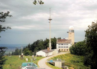
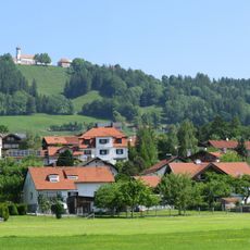
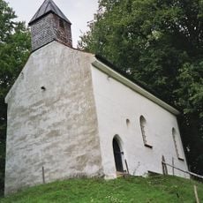
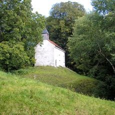
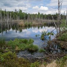
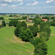
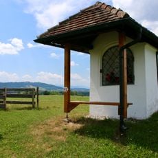
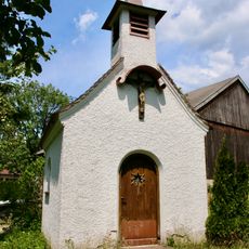
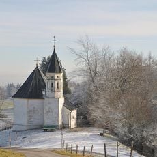
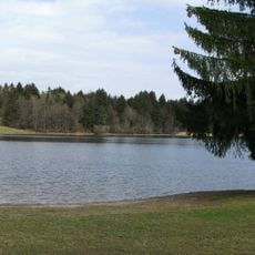
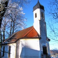
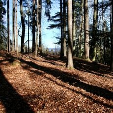
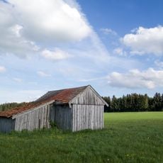
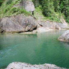
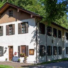
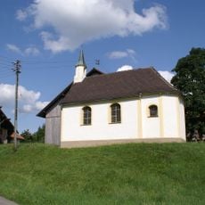
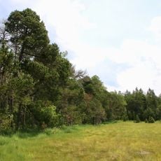
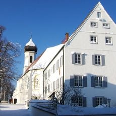
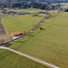
Hohenpeißenberg is a village nestled at the foot of a mountain reaching nearly 1000 meters at its peak in Upper Bavaria, surrounded by meadows, forests, and lakes. The settlement spreads across a larger area with traditional farmhouses, while the summit holds a small chapel and a pilgrims' church alongside the historic weather station.

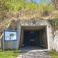
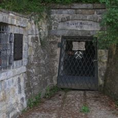
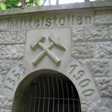
Augustinian monks settled the area in medieval times, establishing a monastery and school while conducting weather observations. From the 1600s through the 1900s, coal discoveries sparked mining operations that shaped the community's economy and daily life for centuries.

The name reflects both the mountain's shape and its role as a center for scientific observation that continues today through the weather station. Traditional farmhouses and old churches define the village appearance, showing how the community has kept its history visible in its buildings.

The village connects to nearby towns by train, making visits possible without a car through the local railway line. Hiking paths lead up the mountain or around the settlement, and well-maintained roads help visitors navigate the area.

The weather station at the summit is the oldest operating mountain observatory in the world, continuously recording weather data since the late 1700s. These decades of measurements help scientists understand climate patterns and track weather changes over long periods.

The community of curious travelers

AroundUs brings together thousands of curated places, local tips, and hidden gems, enriched daily by 60,000 contributors worldwide.

Start exploring
Elevation above the sea
780 m
Shares border with
Peiting, Wessobrunn, Böbing
GPS coordinates
47.80000,11.00000
Latest update
February 17, 2026 01:40
Reviews
Share your experience

No review yet

Discussions
Start a discussion...

No discussion yet

« Hohenpeißenberg - municipality of Germany » is provided by Around Us (aroundus.com). Images and texts are derived from Wikimedia project under a Creative Commons license. You are allowed to copy, distribute, and modify copies of this page, under the conditions set by the license, as long as this note is clearly visible.

Discover hidden gems everywhere you go!

From secret cafés to breathtaking viewpoints, skip the crowded tourist spots and find places that match your style. Our app makes it easy with voice search, smart filtering, route optimization, and insider tips from travelers worldwide. Download now for the complete mobile experience.

Around Us App Screenshot

A unique approach to discovering new places

Le Figaro

All the places worth exploring

France Info

A tailor-made excursion in just a few clicks

20 Minutes

Around Us
Travel Guide & Maps
Download

Send to your phone

QR Code
1

Open the camera app on your mobile.

2

Point at the QR code with your camera. A notification will appear.

3

Tap the notification to open the link.