Angelburg, Mountain summit in Lahn-Dill-Kreis, Germany
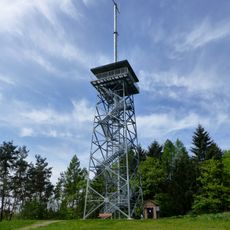
Angelburg is a mountain peak in the Gladenbach Uplands region of Hesse, rising to 609 meters above sea level. The elevated position offers broad views across the surrounding rolling terrain.
From the early to the high Middle Ages, a major crossroads of long-distance trade routes lay at the Angelburg, running along the watersheds. The most important was the east-west Leipzig-Cologne fair road, also called the Brabanter Strasse, which led as far as Antwerp; the Herborner Hohe Strasse crossed here from northeast to southwest until the new country road of 1871-1875 replaced it.
The Wilhelmsteine, about 700 m south-southeast of the summit, are iron-quartzite crags up to 15 m high, once called Buchsteine and regarded as a pre-Christian natural sanctuary. A forest service is still held there every Ascension Day, attended by residents of the surrounding villages.
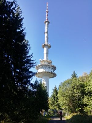
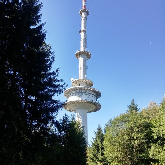
The L 3042 runs west past the hill between Hirzenhain-Bahnhof and Lixfeld. The Wilhelmsteine lie about 700 m south-southeast of the summit, and the 171 m television tower stands on the summit itself. The old Herborner Hohe Straße, used until the 1870s, is now a forest road.
About 700 metres south-southeast of the summit stand the Wilhelmsteine, iron-quartzite crags up to 15 metres high, once called Buchsteine and long regarded as a pre-Christian natural sanctuary. A forest service is still held there every Ascension Day, attended by residents of the surrounding villages.
The community of curious travelers
AroundUs brings together thousands of curated places, local tips, and hidden gems, enriched daily by 94,018 contributors worldwide.