
Hüttisheim, municipality in Baden-Württemberg, Germany
Location: Alb-Donau-Kreis
Location: Kirchberg-Weihungstal GVV
Elevation above the sea: 538 m
Website: http://www.huettisheim.de
Website: http://huettisheim.de
GPS coordinates: 48.27972,9.94278
Latest update: March 6, 2025 15:26
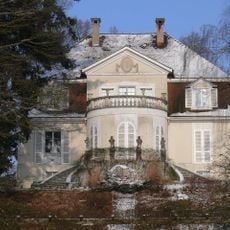
Villa Rot, Burgrieden
6.4 km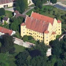
Erbach Castle
6.4 km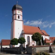
Franziskuskirche
6.7 km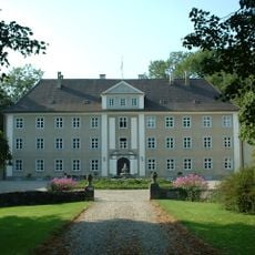
Achstetten Castle
4.1 km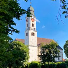
St. Martin
6.4 km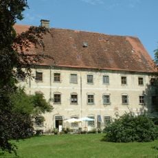
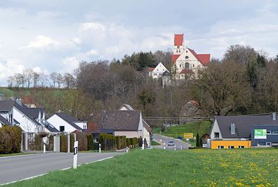
Dellmensingen Castle
3.9 km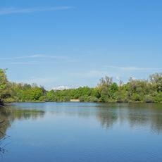
Lichternsee
8.2 km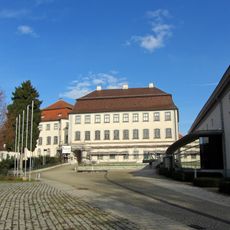
Museum zur Geschichte von Christen und Juden
6.8 km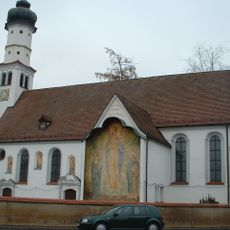
Leonhardskapelle (Laupheim)
6.7 km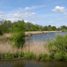
Gronne
8.2 km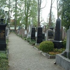
Jüdischer Friedhof Laupheim
6.8 km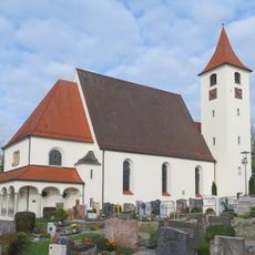
St. Martin
8.2 km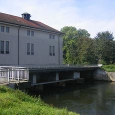
Kraftwerk Donaustetten
5.1 km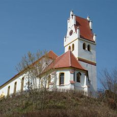
St. Agatha
7.7 km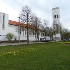
St. Josef der Arbeiter
8.9 km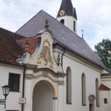
Pfarrkirche St. Sebastian
7.6 km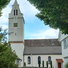
St. Stephanus
2.9 km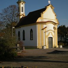
Katholische Kapelle Maria Hilf
8.4 km
Illerauwald von Neu-Ulm bis Kellmünz
8.4 km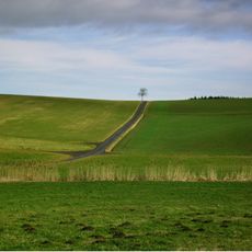
Schnürpflingen
4.5 km
Illerkirchberg
6.9 km
Erbach
5.8 km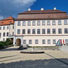
Großlaupheim Castle
6.8 km
Freudenegg
8.3 km
Illerrieden
7.6 km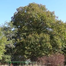
Linde beim Kutschenberg 40/1
9.1 km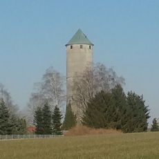
Dellmensingen water tower
3.7 km
Eiche im Gewann Rechtes Donauufer
9.2 kmReviews
Visited this place? Tap the stars to rate it and share your experience / photos with the community! Try now! You can cancel it anytime.
Discover hidden gems everywhere you go!
From secret cafés to breathtaking viewpoints, skip the crowded tourist spots and find places that match your style. Our app makes it easy with voice search, smart filtering, route optimization, and insider tips from travelers worldwide. Download now for the complete mobile experience.

A unique approach to discovering new places❞
— Le Figaro
All the places worth exploring❞
— France Info
A tailor-made excursion in just a few clicks❞
— 20 Minutes