
Bayerbach, municipality of Germany
Location: Rottal-Inn
Elevation above the sea: 357 m
Part of: Verwaltungsgemeinschaft Bad Birnbach
Shares border with: Bad Birnbach, Bad Griesbach im Rottal, Rotthalmünster, Kößlarn
Website: http://bayerbach.de
GPS coordinates: 48.41667,13.15000
Latest update: March 3, 2025 08:19

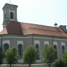
St. Matthäus
3 km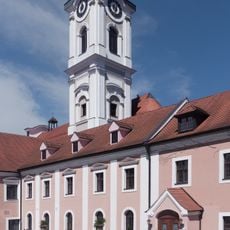
Benedictine Abbey of Asbach
3 km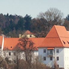
Schloss Griesbach
4.8 km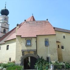
Hl. Dreifaltigkeit
5.4 km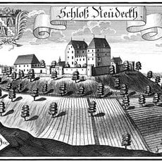
Burg Neudeck, Bayern
6.3 km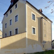
Schloss Birnbach
5.3 km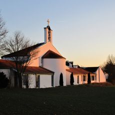
Emmauskirche
3 km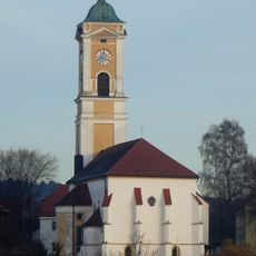
Pfarrkirche Mariä Himmelfahrt
5.2 km
St. Johannes d.T. (Weng, Bad Griesbach im Rottal)
3.9 km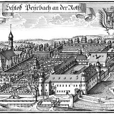
Cultural heritage D-2-7544-0006 in Bayerbach (Rottal-Inn)
935 m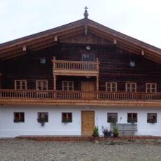
Moserhof
3.7 km
Bella Vista Golfpark Bad Birnbach
6.4 km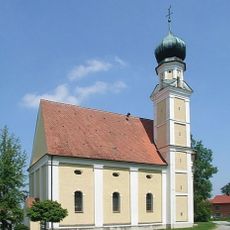
Maria Heimsuchung
2.1 km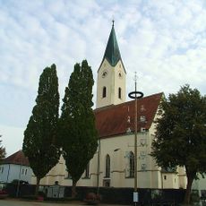
Seelenkapelle zu den 14 Nothelfern
4.7 km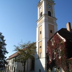
Katholische Pfarrkirche Mariä Aufnahme in den Himmel
5.2 km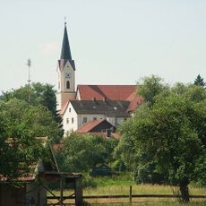
St. Peter
873 m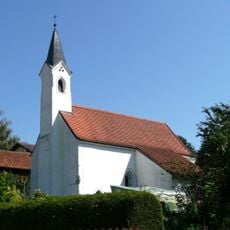
Katholische Filialkirche St. Ulrich
3.2 km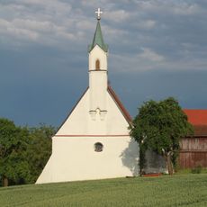
St. Vitus
2.6 km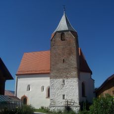
St. Margaretha
1.6 km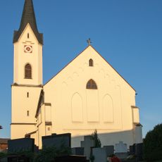
St. Johannes d.T.
3.9 km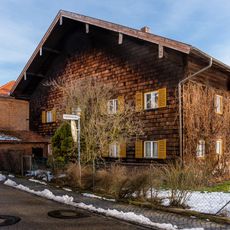
Bauernhaus
5.4 km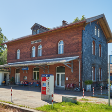
Station building at Karpfham station
2.9 km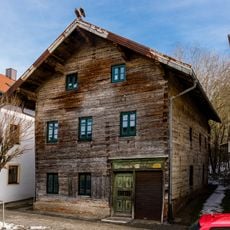
Ehemaliges Handwerkerhaus
5 km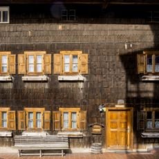
Wohnteil des ehemaligen Bauernhofes
5.2 km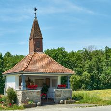
Kapelle
4.3 km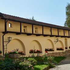
Kirchhofbefestigung Marktplatz 39 in Kößlarn
5.4 km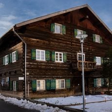
Wohnhaus
5.3 km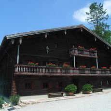
Birthplace of Saint Conrad of Parzham
2.8 kmReviews
Visited this place? Tap the stars to rate it and share your experience / photos with the community! Try now! You can cancel it anytime.
Discover hidden gems everywhere you go!
From secret cafés to breathtaking viewpoints, skip the crowded tourist spots and find places that match your style. Our app makes it easy with voice search, smart filtering, route optimization, and insider tips from travelers worldwide. Download now for the complete mobile experience.

A unique approach to discovering new places❞
— Le Figaro
All the places worth exploring❞
— France Info
A tailor-made excursion in just a few clicks❞
— 20 Minutes