Velten, town in Brandenburg state, Germany
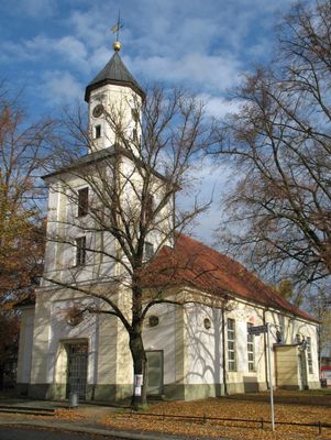
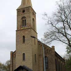
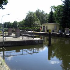
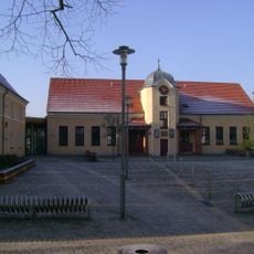
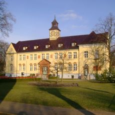
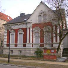
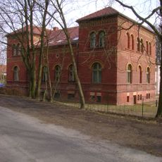
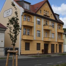
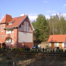
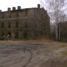
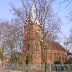
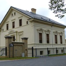
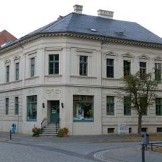
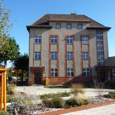
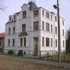
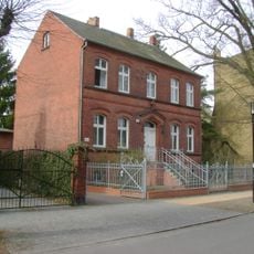
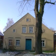
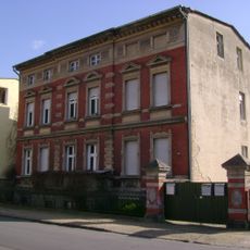
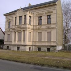
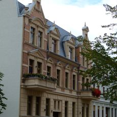
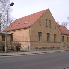
Velten is a small town in Oberhavel District, sitting just north of Berlin on the edge of the greater metropolitan area. The town has a mix of residential streets, commercial zones, and a historic center with buildings from the 19th and early 20th century.
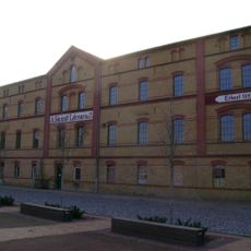
Velten grew into a proper town during the 19th century, when local potteries and brickworks started exploiting the clay-rich soils of the area. The rise of tiled stove manufacturing turned it into one of the leading production centers of its kind in the country.
Velten is often called the "city of stoves" because it once produced more tiled stoves than anywhere else in Germany. Some shops and small workshops in town still sell locally made ceramics, keeping that craft visible to visitors today.
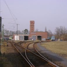
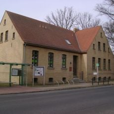
Velten is well connected to Berlin by regional rail, making it easy to reach without a car. The town center is compact enough to explore on foot, so no special planning is needed to see the main points of interest.
At its peak, Velten supplied tiled stoves to buildings across Europe, and the town earned the unofficial title of "stove capital" of Germany. The local museum holds a collection of original stoves and tools that tells the story of that trade in a direct and tangible way.
The community of curious travelers
AroundUs brings together thousands of curated places, local tips, and hidden gems, enriched daily by 60,000 contributors worldwide.